Solo Kayaking BC's Outer Central Coast
I’ll take any opportunity to plug myself into a kayak and ramble up and down the BC coast. I’m seeing more and more but if I’ve learned anything, it’d take lifetimes to see it all.
Some ‘remote’ areas of BC have become quite popular and accessible - think the Discovery Islands and Desolation Sound, the Broughtons, the Broken Group, and even Gwaii Haanas. New ferry routes, short-haul flights, and commercial outfitters have opened up considerable parts of the coast for easier adventuring. But there are still plenty of less-travelled spots if you’re looking for a bit more solitude.
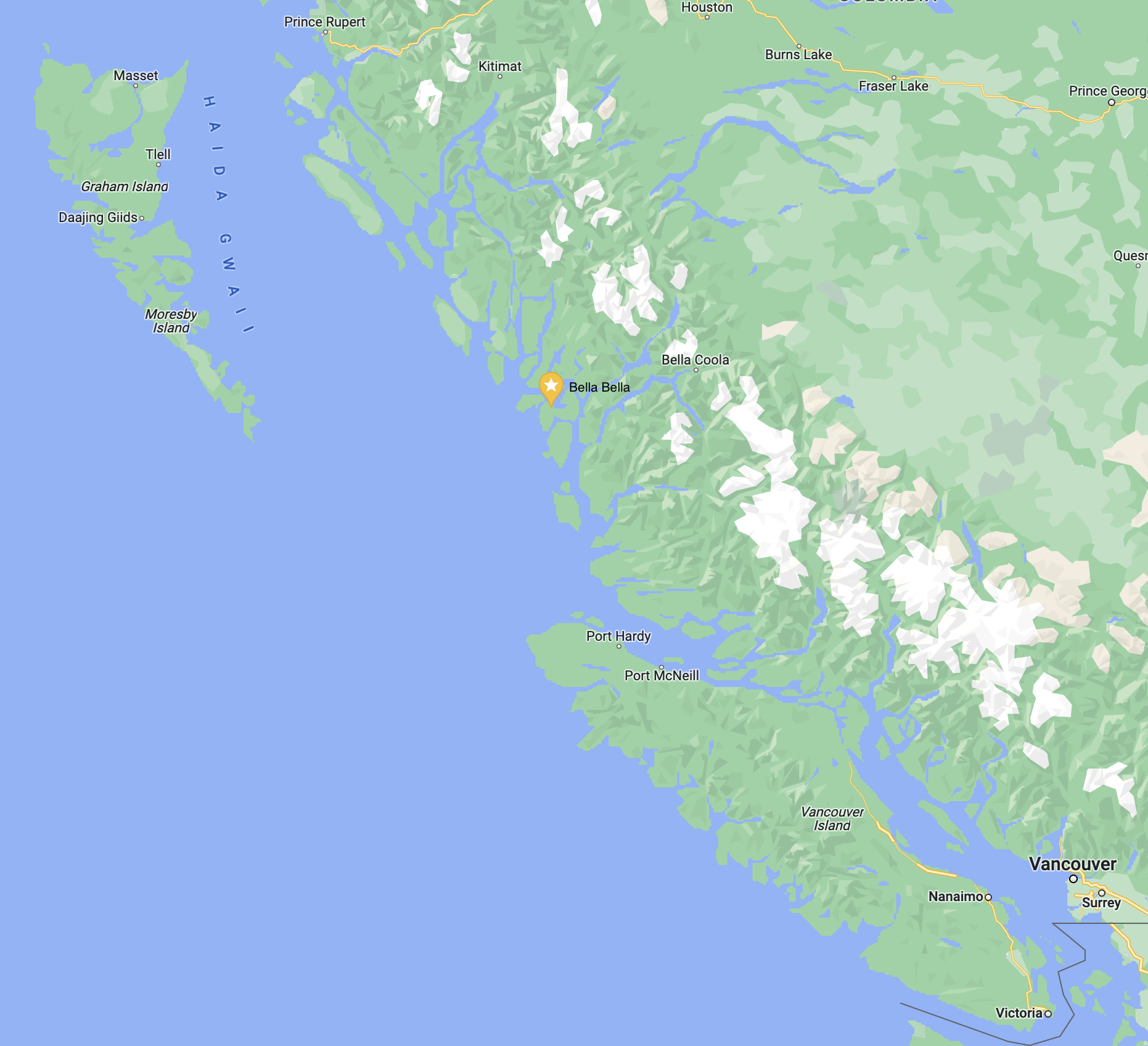
One of those spots is the vast Central Coast - running roughly from the Northern tip of Vancouver Island to the Southern tip of Haida Gwaii, and home to the Heiltsuk Nation. The Inside Passage cuts right through the middle, and BC Ferries connects Bella Bella, Bella Coola, and Ocean Falls with Prince Rupert to the North and Port Hardy to the South. The Central Coast boasts nearly 25,000km of territory with a population of just over 3,000.
Which makes the Central Coast a perfect spot to get lost for a week.
The Route
A common starting point for a Central Coast kayak trip is Bella Bella. This Heiltsuk town is accessible by ferry or air, with regular routes on both. Once in town, the opportunities for kayak routes are endless: either exploring the inlets of the mainland to the East, the outer islands to the West, or any combination of the two. One common route is to take the ferry to Bella Bella and paddle all the way back to Port Hardy on Vancouver Island (roughly 260km). A trip I didn’t have time for, unfortunately!
The Big House in Bella Bella.
With just a week on the water, I opted to explore the Central Coast’s Outer Islands. The Outer Islands are an archipelago of several island groups (including the Bardswell, Tribal, McMullin, and Goose Groups), the Outer Central Coast Islands Conservancy, as well as countless bays and channels for a paddler to link together.
I’d set a few goals for the trip: get to the Goose Group, get to the McMullin Group, and see the West coast of Athlone Island (the Outer-most part of the Outer coast). A gale blew in half-way through the trip, so I only achieved one of those goals, but my improvised route took me to some places that were just as incredible.
My route started in Shearwater and took me South past Soulsby Point, straight out to the McMullins, up through Gale Passage, into the Lady Douglas-Don Conservancy, and then back to Bella Bella along the Seaforth Channel. All in all, about 130km over 7 days.
This is a well known area for sea kayaking, especially with commercial tours operating in the summer. I kept a close eye on their schedules and strategically booked this trip a week after they’d all finished their seasons - hopefully to run into fewer people. Indeed, I didn’t see another person out there all week (save a few fishing boats in the Inside Passage).
The Trip
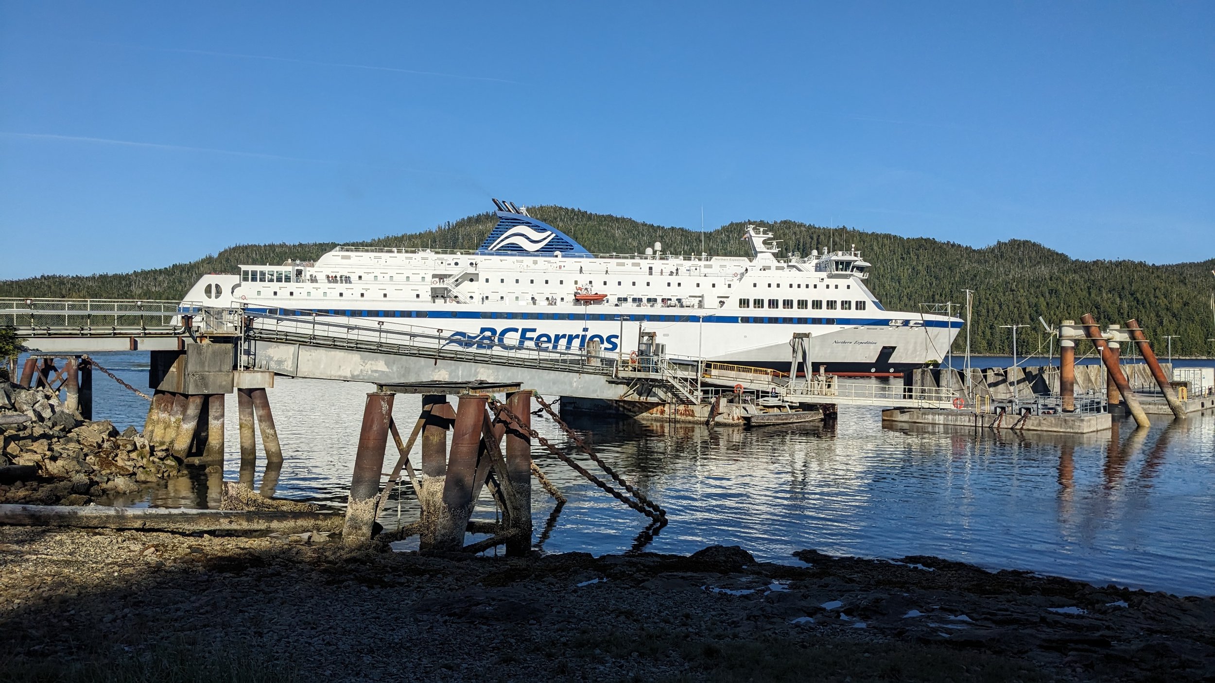
Walking on to the Northern Expedition before sunrise.
As with most kayak adventures in BC, the first challenge is actually getting to your launch point.
Getting to Bella Bella isn’t all that difficult anymore, but it isn’t all that cheap either. You can either fly from Vancouver (and maybe other BC airports), or take a 6+ hour ride on BC Ferries’ Northern Expedition out of Port Hardy or Prince Rupert. Flying from Toronto to Victoria, I opted to rent a car, drive the length of Vancouver Island, and then walk on to the Northern Expedition leaving my car at the ferry terminal.
The biggest reason for this approach, versus the convenience of flying, was that I needed to get my kayak up there. Access to kayak rentals in Bella Bella is very limited - more on that below. Renting from Comox Valley Kayaks (where, by the way, BC Marine Trails members get 15% off on rentals!), I conveniently picked up a beautiful Delta 17 sea kayak as I passed through town.
Arriving in Port Hardy late that night, I stayed at the Kwa’lilas Hotel ahead of my early morning departure on the Northern Expedition.
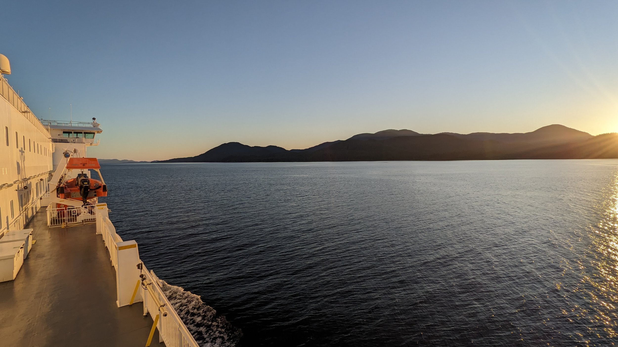
I was quickly reminded of the other reason I chose the ferry option: it’s an unforgettable way to get introduced to new parts of BC. Slowly pulling away from shore, you have hours to appreciate the landscapes, islands, and channels you carve through. And on a boat with the amenities of the Northern Expedition, there’s decent food, a movie room, and numerous decks to wander and views to soak in.
BC Ferries are very accommodating for walk-on kayakers. You park your car in long-term parking, place your boat on a dedicated kayak rack, and it’s hauled off/on the ferry for you.
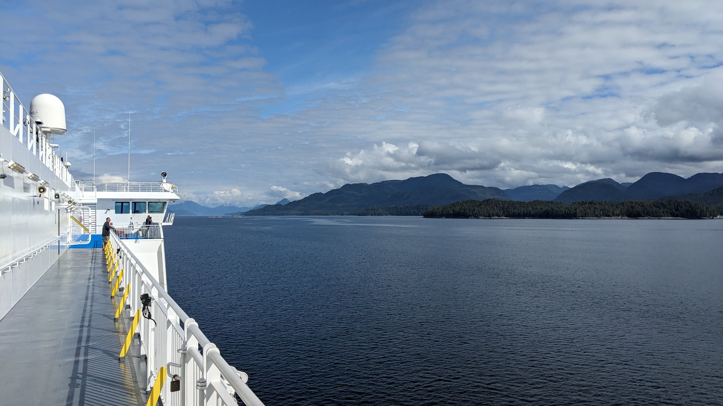
A view of the Inside Passage aboard the Northern Expedition.
The ferry dock for Bella Bella in McLoughlin Bay is a couple kilometres from the actual town, and a ~5km paddle to the villiage of Shearwater. I’d booked a night at the Shearwater Lodge, a Heiltsuk-run resort that would serve as a basecamp to get final supplies, pack food, and enjoy a beer before heading into the woods.
I didn’t know this while planning, but it is possible to get sea kayak rentals from Shearwater Lodge - I’m just not certain under what conditions. They had a fleet of Current Designs poly kayaks that would certainly suffice for open water, but you may need to be booked at the Lodge to have access to them. It’s worth calling to see, and may save you hauling your kayak on the ferry.
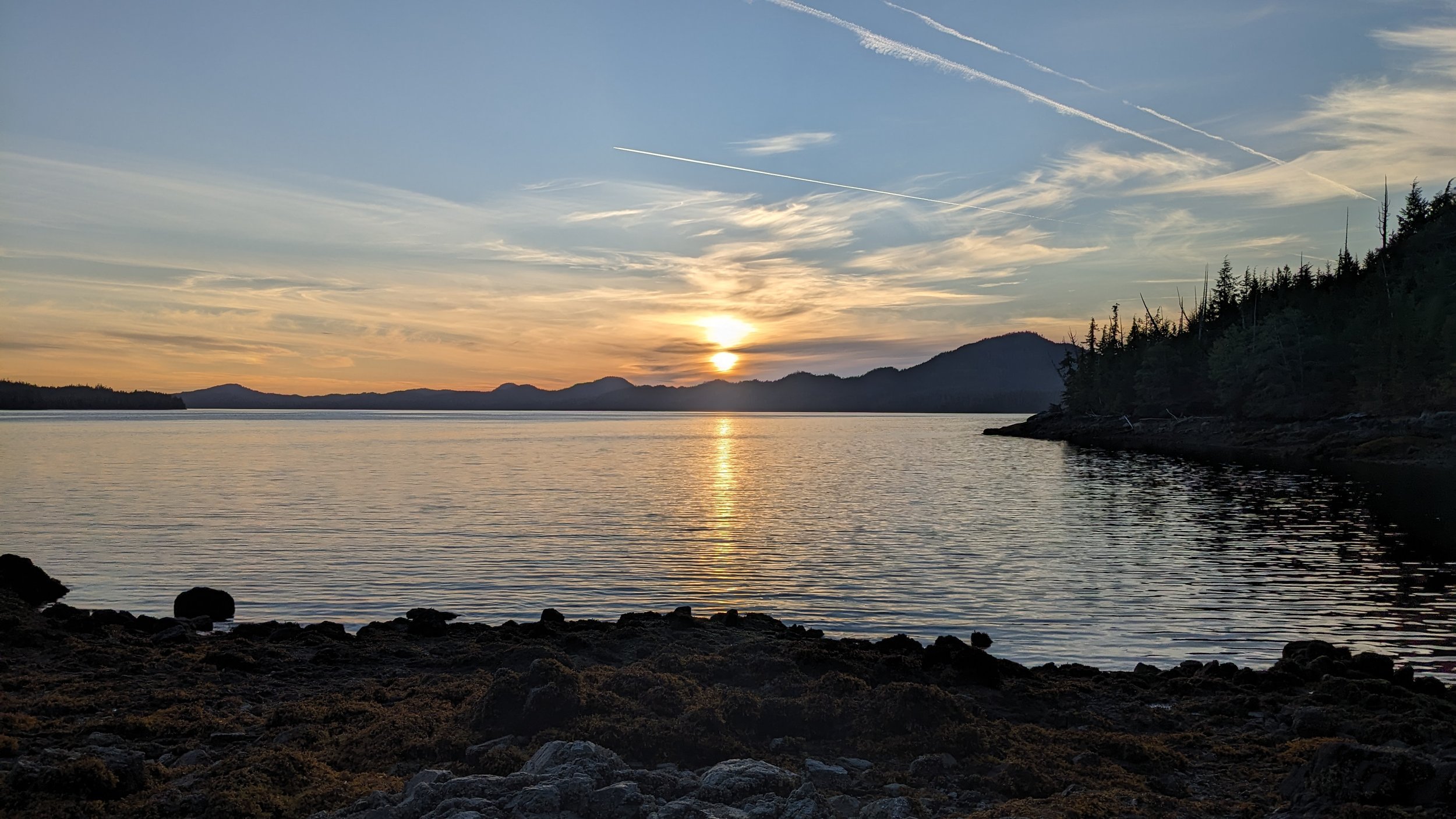
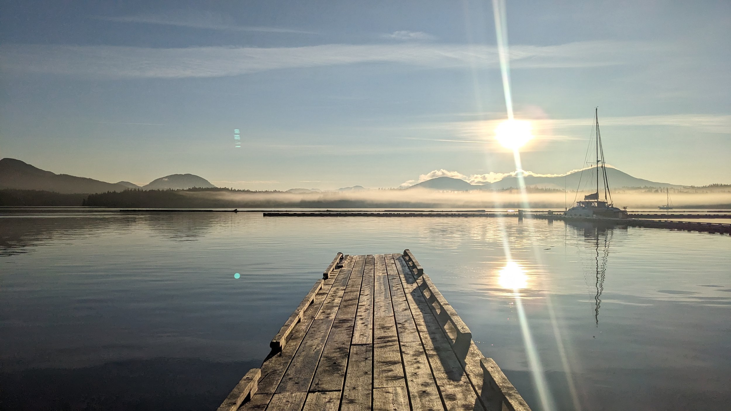
Sunrise from the Shearwater docks.
I changed my route plans almost daily on this trip. Being so close to a new moon (read: strong tides/currents) and with marginal weather on the horizon, I really was at the mercy of the coast. This was a welcome feeling though: needing to stay in equilibrium with the environment, being flexible and thoughtful and clever about when/where to travel.
My first day had me paddling directly South from Bella Bella, through Lama Passage and Hunter Channel, to Soulsby Point. There are a few well known (and beautiful) campsites in the region, and Soulsby Camp is one of them - a gorgeous shell beach with a cleared upland forest and views in nearly every direction.
With a Southeast gale supposedly inbound in the next few days, this would be a good launch point to push out to the Goose/McMullin groups, or escape Northward for shelter from the storm.
Looking back towards the mainland from the Soulsby Camp.
Waking up to a bluebird day and light Southern winds, I felt confident about the 10km open crossing to one of the outer groups. Looking at my options, and the projected gale, I chose to head directly to the McMullin islands, and forego the Goose Group. In hindsight I could have done both, but had the weather pinned me in on Goose Island, I would have been marooned for days.
Dodging a heavy stream of humpback traffic, I made the northern-most McMullin island in early afternoon with a promise of a ‘five-shell’ beach waiting for me. I was not misled!
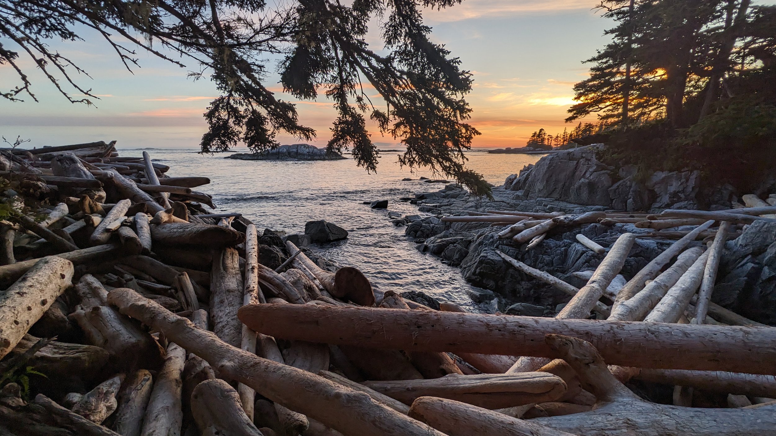
The island itself is jaw dropping - long, protected white-sand beaches, wrapped around an old growth forest. There’s even a short (but rugged) trail across to the Western side of the island where you can soak in a sunset while listening to waves finally crashing on the shore after an uninterrupted trip across the Pacific.
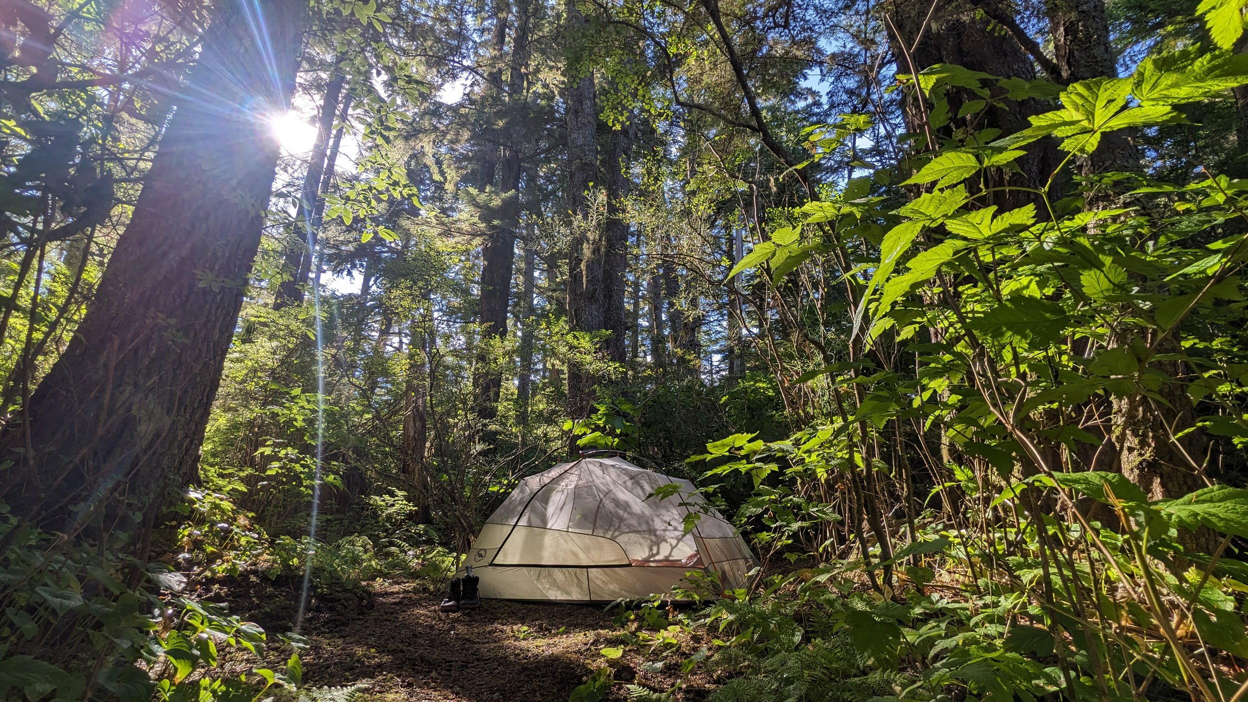
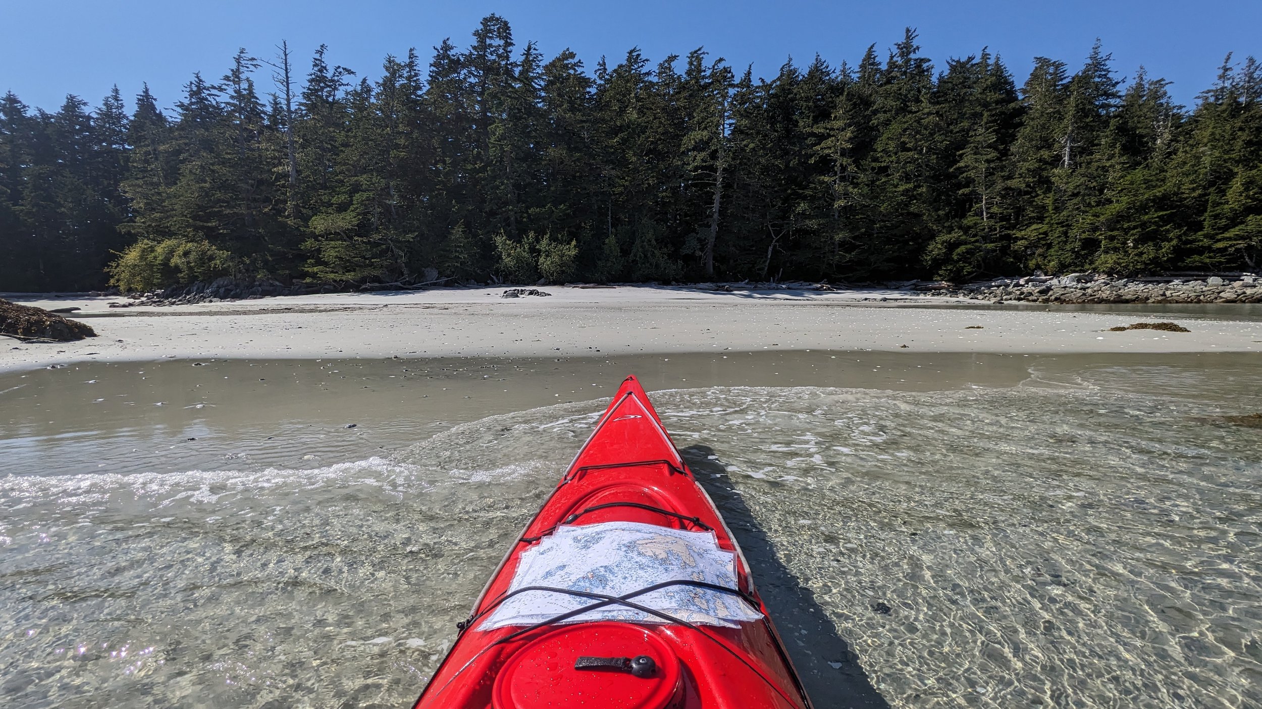
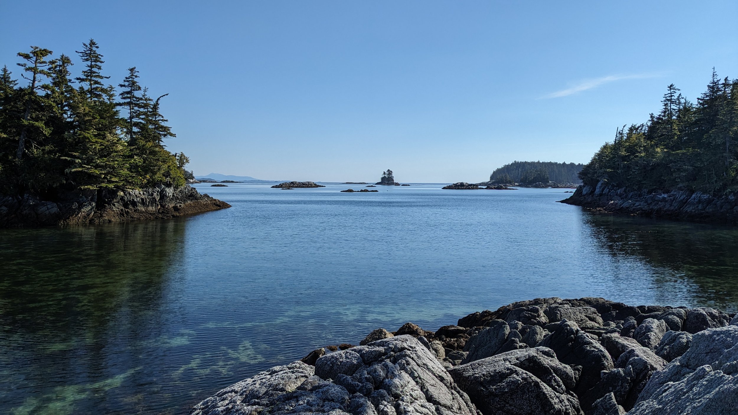
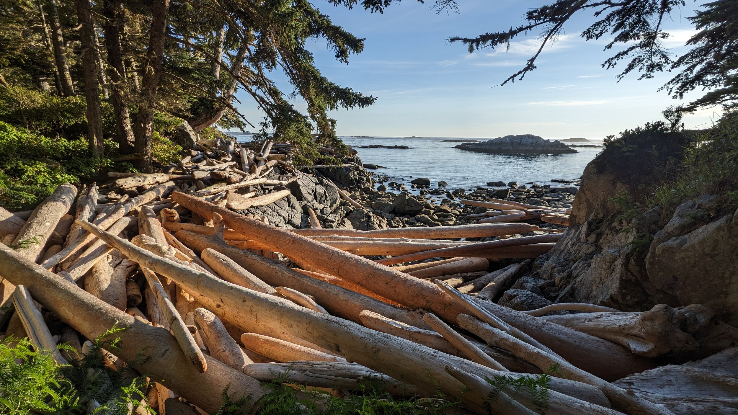
Despite calm waters and clear skies, my ears were locked to my VHF radio for gradually escalating weather reports. A gale at 35 knots was expected to land on the Central Coast the following morning, and I had a decision to make: hole up on McMullin North for a couple days and wait for it to pass, or break camp at sunrise and escape back to the (relative) protection of the Bardswell Group.
Foregoing a few more nights on my island paradise, I woke up with the stars still hanging in the sky and got ready to hit the water with first light. The swells were manageable, and good charts helped me maneuver around the countless boomers and shoals peppering the path back towards Louise Channel.
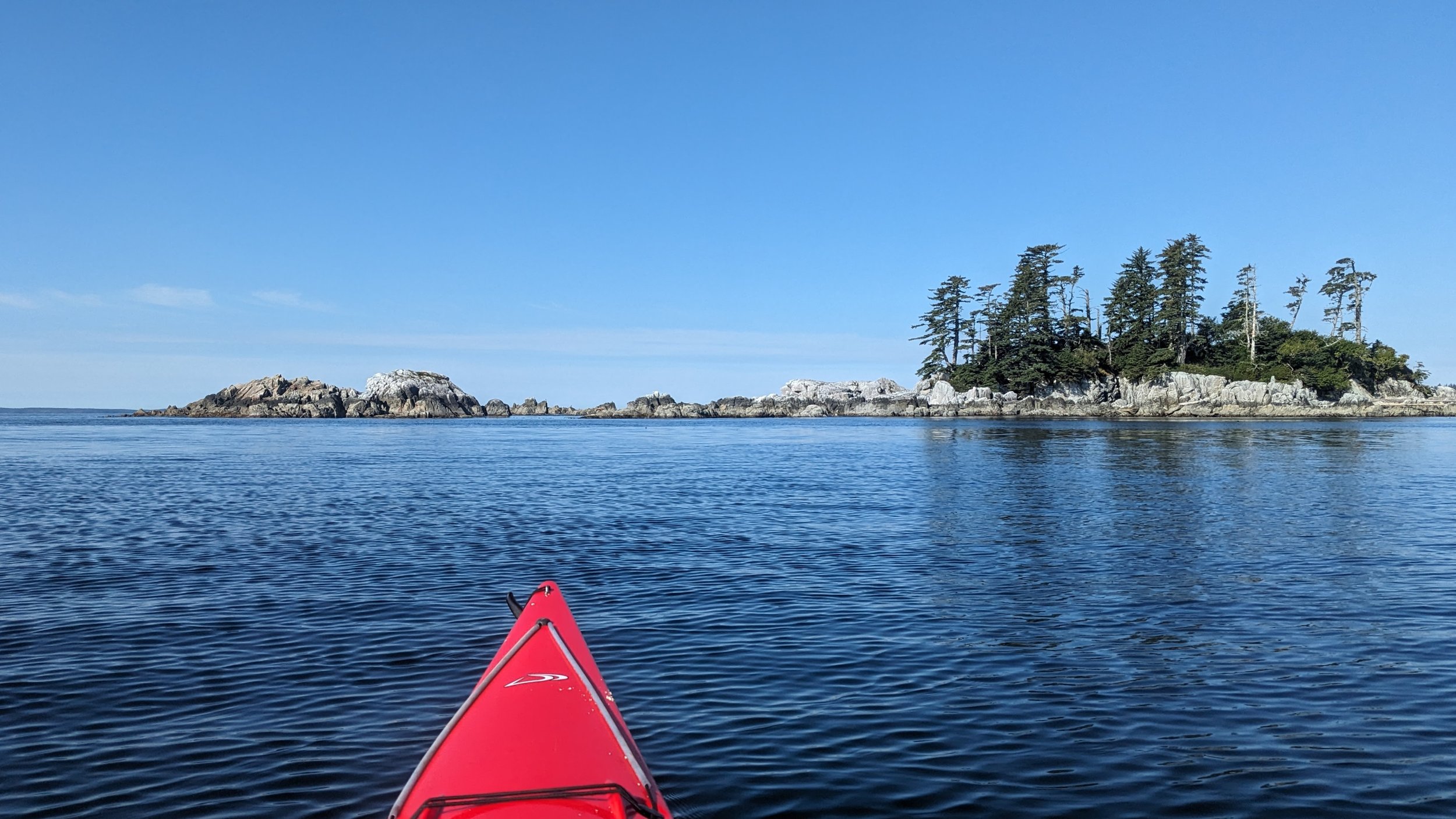
Paddling that open stretch while watching the sun rise over the mountains is, alone, worth the price of admission to the Outer Islands.
Sunrise over Hunter Island.
With the storm poised to hit sometime that morning, I reoriented my route to let the wind and tide do most of the work, pushing me into safe harbour to the North. I sailed up through Thompson Bay and into Gale Passage (which, I chose to believe, was named for its protection from gales, not because it’s a magnet for them).
Gale Passage is choked off on either side by tidal rapids that can really only be traversed near the high tide turn. Enter on the flood, leave on the ebb. I was hoping to find a decent campsite with rain protection somewhere in the Passage, but my luck ran out. There are plenty of decent beach pull-ups, but I didn’t see anything with room for tarps and upland camping.
Now feeling a steady downpour, I changed my target to Gale Creek at the top of the Passage. I’d read rumours of a Heiltsuk cabin in that area that can be used, with permission, by weary, wet, respectful travellers.
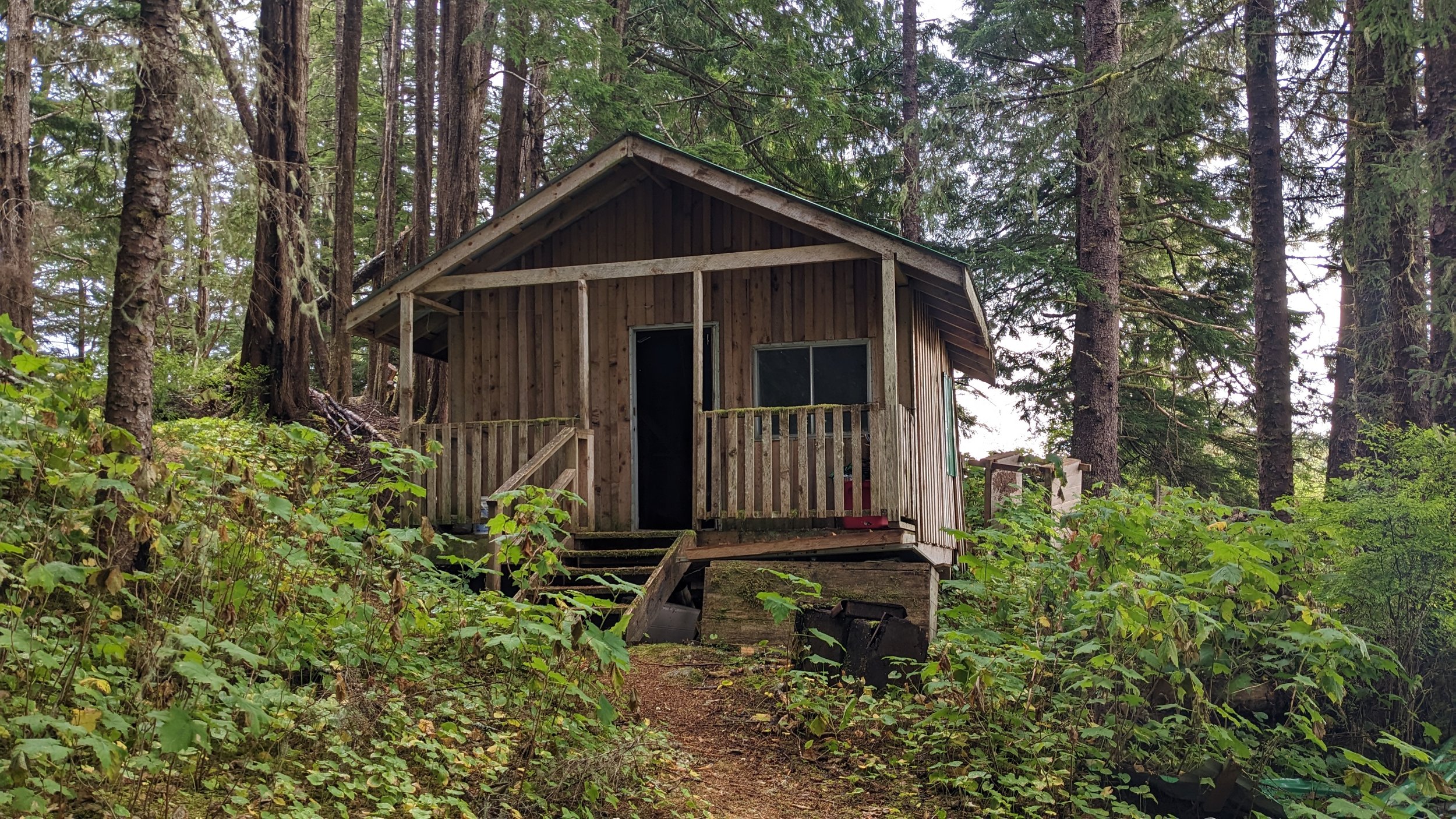
The Heiltsuk cabin at Gale Creek
It’s worth a quick note about the Heiltsuk cabins. The Heilsuk run youth engagement programs through the year to get kids out on the land. They’ve built a handful of cabins across the region to visit as a community and, when they’re not in use, you may be able to visit too. Reach out first.
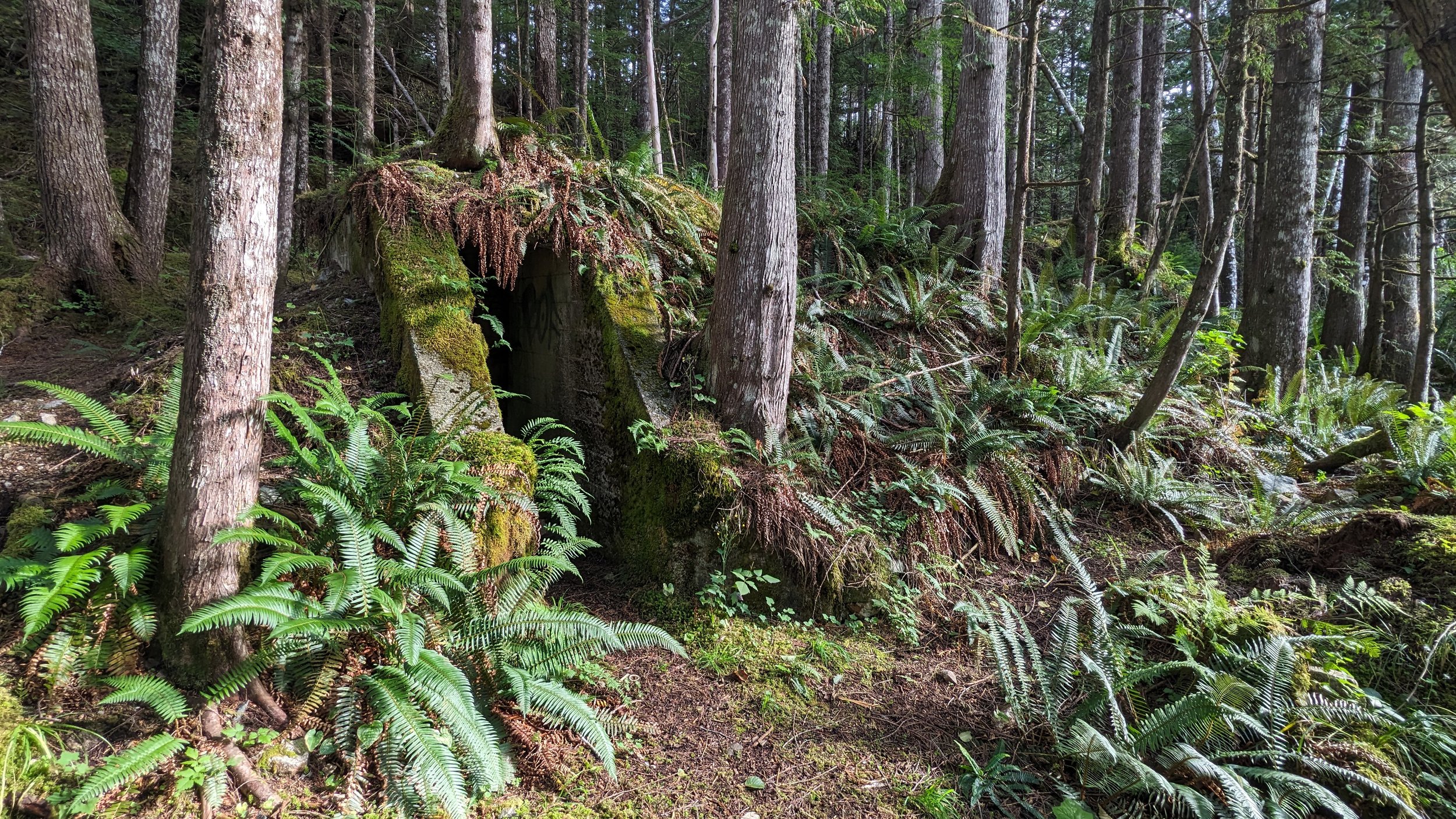
I’ll mention that the cabins are in various stages of their lifecycles. The one at Gale Creek has slipped off its foundation and is good, in a pinch, to store gear but I wouldn’t trust it in a storm and wouldn’t leave food in there due to mice. I opted to sleep out between a couple of towering hemlock, a stone’s throw from the cabin.
For this trip, I’d originally intended to stay south of Seaforth Channel and largely remain in the Bardswell Group and Outer Central Coast Islands Conservancy. But now with my plans of visiting Goose Island and the West coast of Athlone island dashed, and the escalating Southern storm growing, I adapted.
A classic BC foggy haze paddling up through Oliver Cove.
I’d read about some well-established (and protected) sites North of the channel, nested in the Lady Douglas-Don Peninsula Conservancy. On one of these, there was a better-maintained Heiltsuk cabin that may provide a bit of respite from the storm. Pushing through a more aggressive swell and crosswind in Seaforth Channel, I followed the flood in towards Lake Island and Helmet Peak.
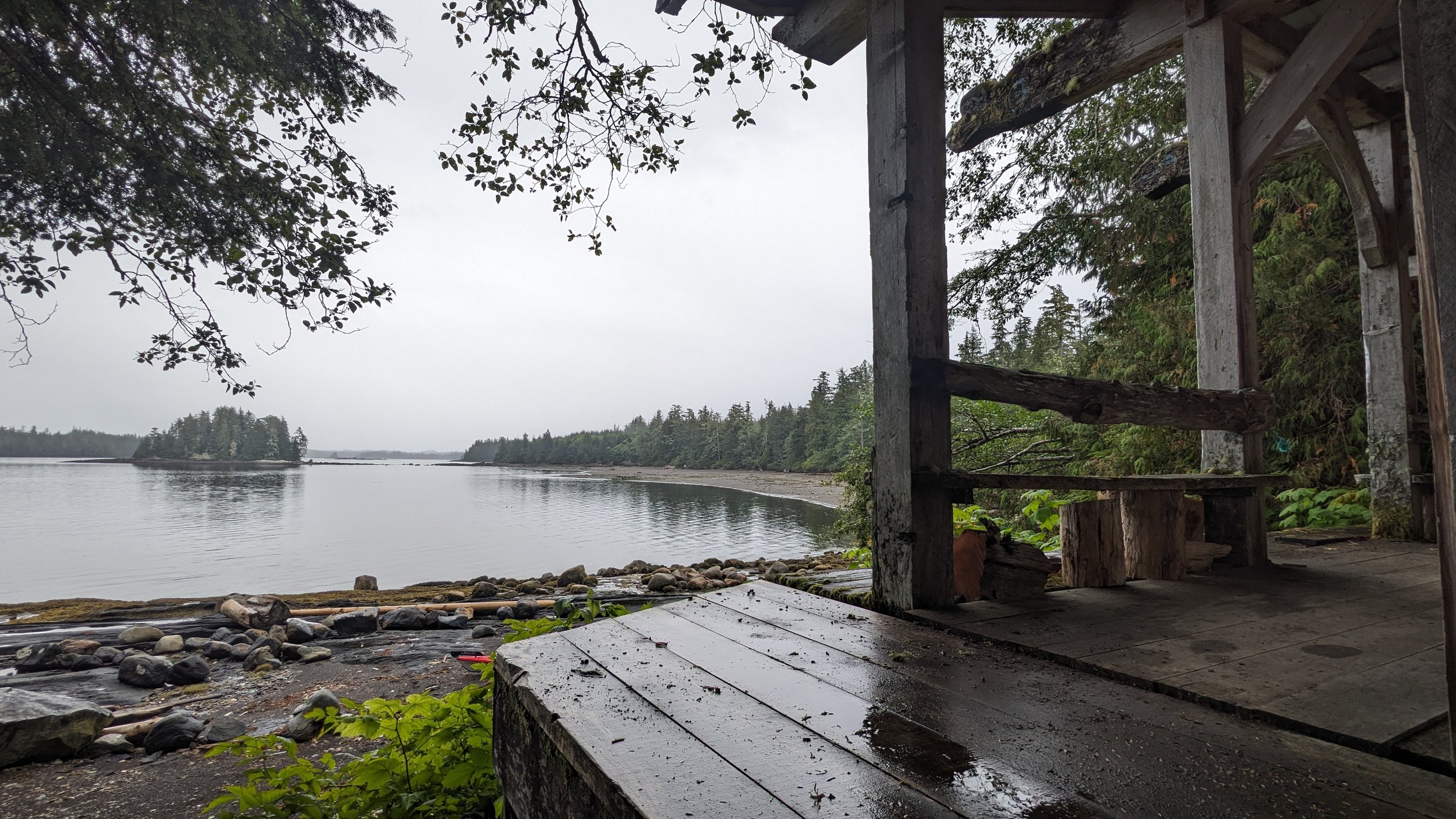
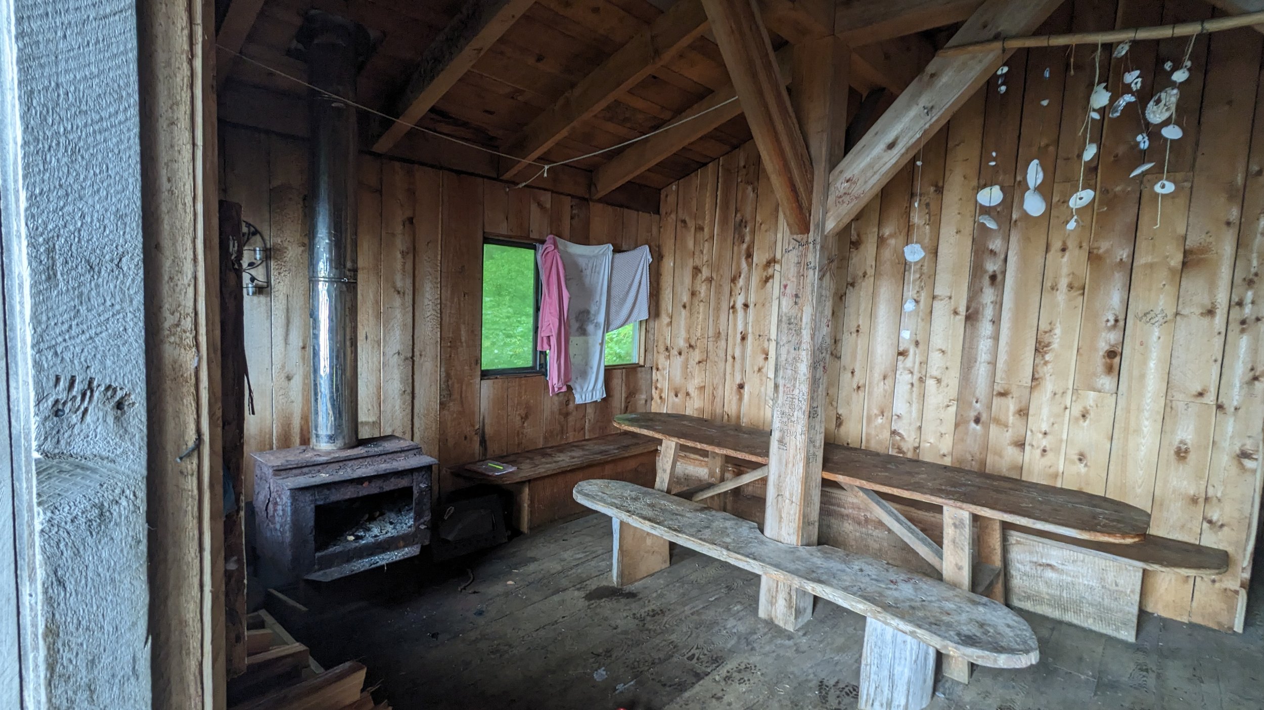
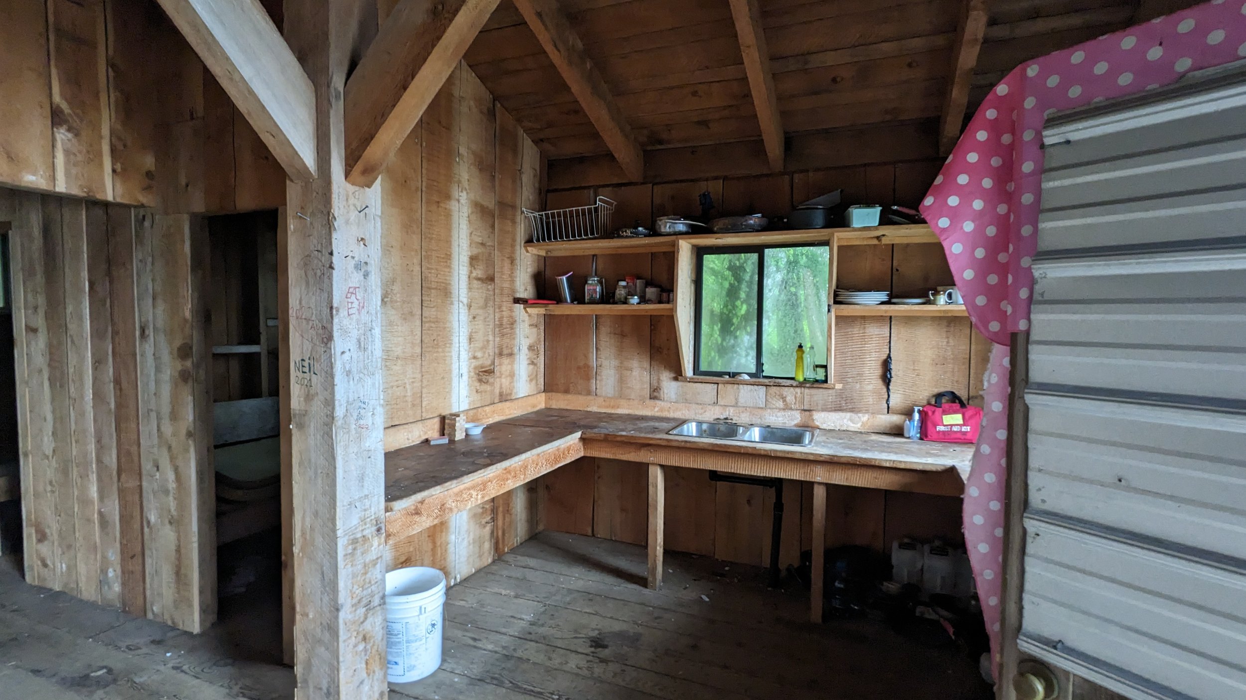
The wind and rain picked up as I landed on the shore of Cockle Bay, met with the sight of a beautiful Heiltsuk cabin nested safely on the Eastern shore of Lady Douglas Island.
The cabin itself needed considerable clean-up, but with nothing but time on my hands to wait out the storm, I was happy to tidy up after the last guests and chop wood for the next ones. I spent the night listening to rain pouring down on the tin roof and watching a fire brew away in the wood stove.
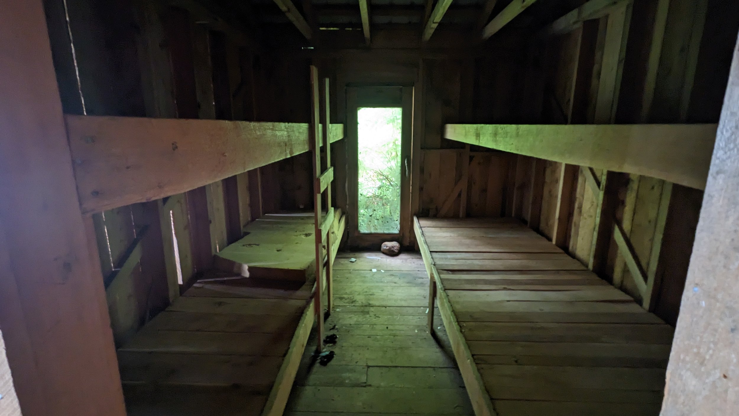
With promises that the storm would pass later that day, I waited for the tide to turn, threw on my wetsuit, and enjoyed a short paddle back towards Seaforth Channel. I settled in on the Roar Islets, which have a single (but perfect) upland campsite originally developed by Kayak Bill.
I’ll add here that there are enough campsites on this part of the coast, but they’re limited. Many of the sites and reports you’ll find on coastal maps are out of date. I’d always recommend consulting the BC Marine Trails maps, and talking to as many local folks as you can.
Curling around Watch Island and back towards Seaforth Channel.
The next morning I began my two-day return down Seaforth Channel, towards Bella Bella. With the sun finally making an appearance, I was lucky to have a glassy crossing and minimal commercial traffic to dodge. I stopped to explore a couple potential campsites before settling into Kynumpt Harbour for the night.
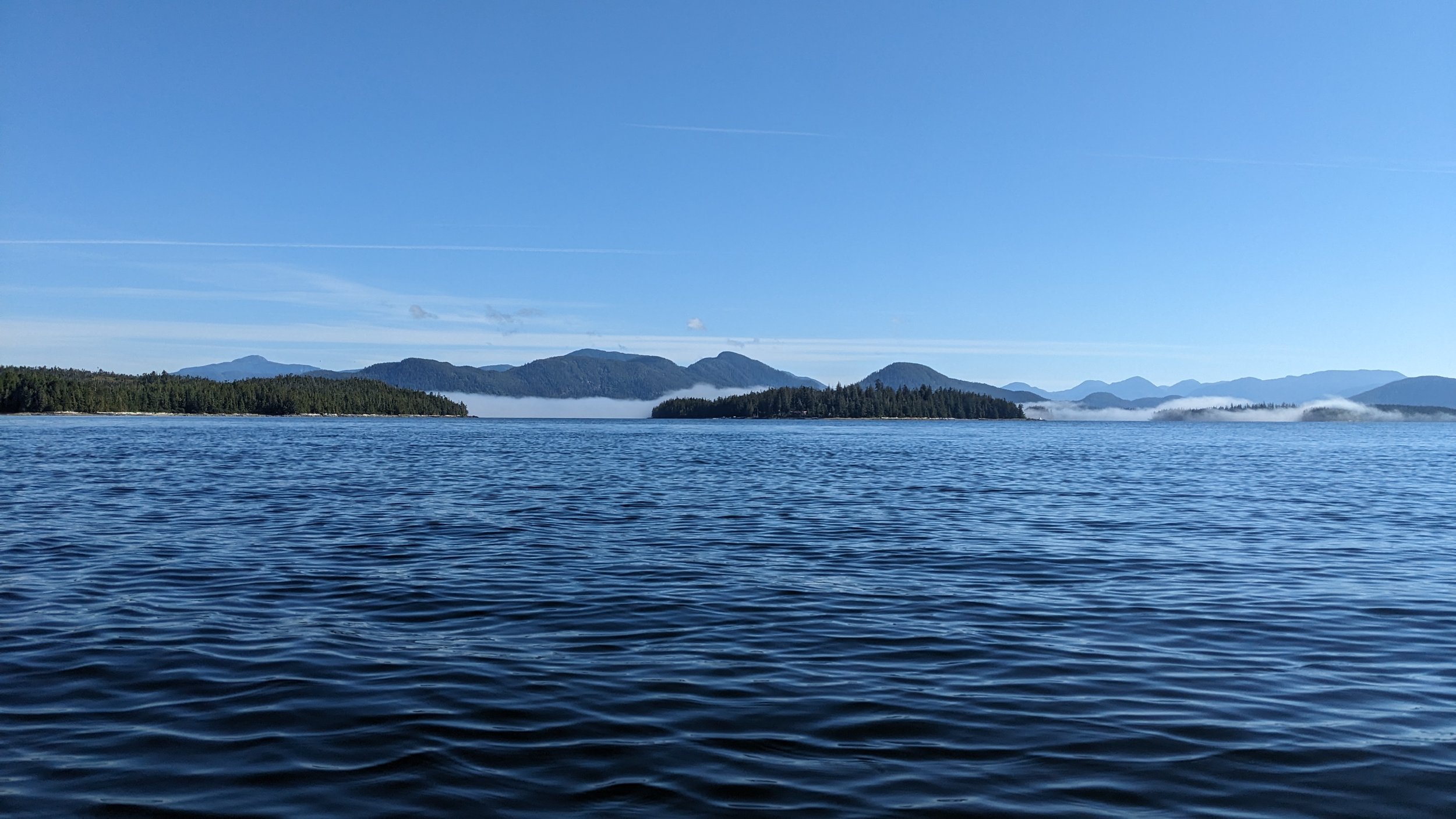
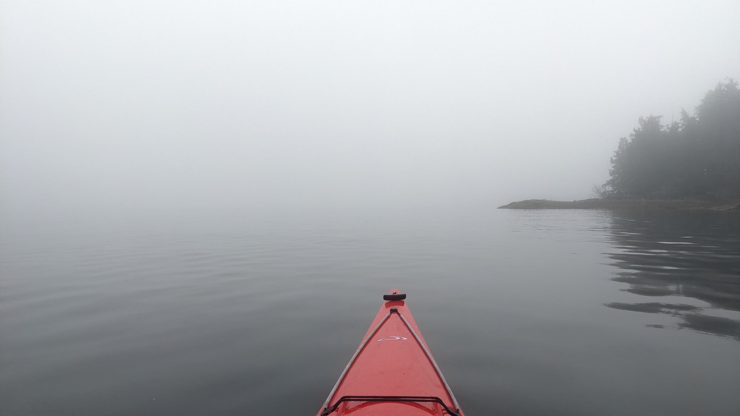
It’s only a short paddle from Kynumpt Harbour back into Bella Bella, but I was finally met with a common adversary on coastal kayaking trips: fog. Beyond waiting for the tides to turn, I had to wait until enough fog burnt off so I could see the bow of my kayak. In the picture below there’s a fishing boat less than 200m in front of me, but you’d never know it!
Pulling into Bella Bella near lunchtime, I tied up my kayak and caught a water taxi into Shearwater for a perfect finish to a trip: a shower, beer, and a pound of chicken wings, before my brief paddle back to McLouglin Bay to catch the evening ferry to Port Hardy.
Itinerary
Day 1: McLouglin Bay to Shearwater (6km)
Day 2: Shearwater to Soulsby Camp (24km)
Day 3: Soulsby Camp to McMullin North (19km)
Day 4: McMullin North to Gale Creek (27km)
Day 5: Gale Creek to Cockle Bay (14km)
Day 6: Cockle Bay to Roar Islets (8km)
Day 7: Roar Islets to Kynumpt Harbour (20km)
Day 8: Kynumpt Harbour to Bella Bella/McLouglin Bay (12km)
The Food
I hear gasps when I say this, but I’m done with cooking on trip. The joys of burning time managing ambitious meals with fresh ingredients, over a single gas burner, on uneven ground, and then cleaning the dishes... is lost on me. Maybe someday I’ll rekindle an urge to cook on trip, but for now I’ve almost entirely defaulted to dehydrated food. Here are some of my go-to’s:
Breakfast: Quick oats and freeze fried fruit (strawberries or blueberries). I buy the oats by the kilo and fruits by the can, usually off Amazon. I really should start adding some fats and proteins to these oats with chia seeds or something.. will try that next trip.
Lunches/Dinners: My favourite backpacking chefs are the folks at Packit Gourmet. Most of their dehydrated meals aren’t ‘good for dehydrated meals’. They’re just good.
For lunches, take any of their chicken salads or burrito mixes and wrap in a tortilla. If you’re feeling extravagant, get a cooking fire going and toast the wrap over the coals.
For dinners, the Tuscan Beef Stew with Polenta, All American Works Burger, or Bean Salads are huge hits. In fact the Santa Fe Corn Pudding, Polenta with Pork Sausage, or Poblano Corn Chowder make great anytime meals too.
Snacks: Can’t beat a few bags of nuts and M&Ms to munch on all day.
Pro Tips
Call lodges and outfitters in the area to get a better sense of ideal routes and availability of gear (e.g., kayaks) before you head out.
Charts you’ll want for the region are: 3936, 3937, 3938, 3939, 3940, 3941 (the last two only if you’re going North of Seaforth Channel).
Shearwater has all kinds of great amenities - laundry, restaurant, drinking water, grocery/liquor store, and a hardware store. It’s an excellent base camp.
I found lots of water sources, even in September. Look for creeks on your marine charts and where raised earth/mountains intersect.
Lots of potential reading for this area but I highly recommend John Kimantas’ Wild Coast Vol. 2. It’s now quite an old print, but there’s good information about the region and specific areas of interest. Also recommend checking out his website and grabbing one of his maps!
With a few exceptions, currents are fairly light along the Outer Coast. Even in channels between islands, you may not find yourself gaining/losing too much speed on either side of the turns.
