Kayaking BC’s Broughton Archipelago
After a trek into BC’s Desolation Sound, I knew I’d be back. In fact, I started planning the next trip almost immediately.
Throwing darts at a map, I noticed a cluster of islands near Port McNeill, on the north-east side of Vancouver Island, called the Broughton Archipelago. After looking at some photos on Google it took me all of ten minutes to decide that this was the spot for my next BC tour.
I had initially planned on a solo, but the more I talked about the trip the more interest I had. To be honest, I was kind of relieved - this area was a lot more exposed and remote than Desolation Sound, and I was glad to have some company. Two pals (Chris and Tyler) ended up following through, and in September 2019 we landed in Nanaimo ready for some adventure.
The Route
From the northern tip of Vancouver Island, the Pacific wind blows down the Queen Charlotte Strait past Port Hardy, Port Macneill, and eventually it hits a chain of islands and the Broughton Archipelago Marine Park. Established in 1992, it’s BC’s largest marine park and has over a hundred (varied-quality) campsites peppered across native, public, and private land. The area also crosses the Johnstone Strait and Blackfish Sound, both endearingly referred to as ‘whale soup’: a superhighway for orca and humpbacks. I’d never paddled with our distant cousins, but was excited at the idea.
I came across the folks at BC Marine Trails, who have amassed an ocean of campsite data. With their generous help, I was able to piece together a number of possible routes. It’s worth mentioning that the Archipelago is remote, but well-known - it shows up on tons of sea kayaking Top 10 lists. Even after Labour Day, I was assured we’d see other folks out there and that we may have to contend for campsites.
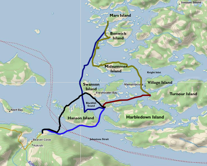
Our five-day/100km adventure. In order: black, red, green, purple, blue. Download GPX file here.
Starting out of Telegraph Cove we’d planned a 5-day/4-night route that, truthfully, was pretty loose. I’d heard lots about tides and currents in the area, and had no idea what our pace would be. The plan was to cross the Johnstone Strait and see how far we could get, turning back a few days later and finishing in Telegraph Cove.
Above you’ll see the actual route we pulled off. All in all, just over 100km. I had a rough idea that we should see Village Island (more on that later), and we should get beyond the Knight Inlet and into the northern part of the park. We were traveling just after a new moon so the tides were at their highest, which meant the currents were at their strongest, so ultimately they decided where we went.
In planning, I was also reasonably conservative with crossing such big segments of open water. We tried to limit that as much as possible, but ended up with perfect weather so we did it anyways!
The Trip
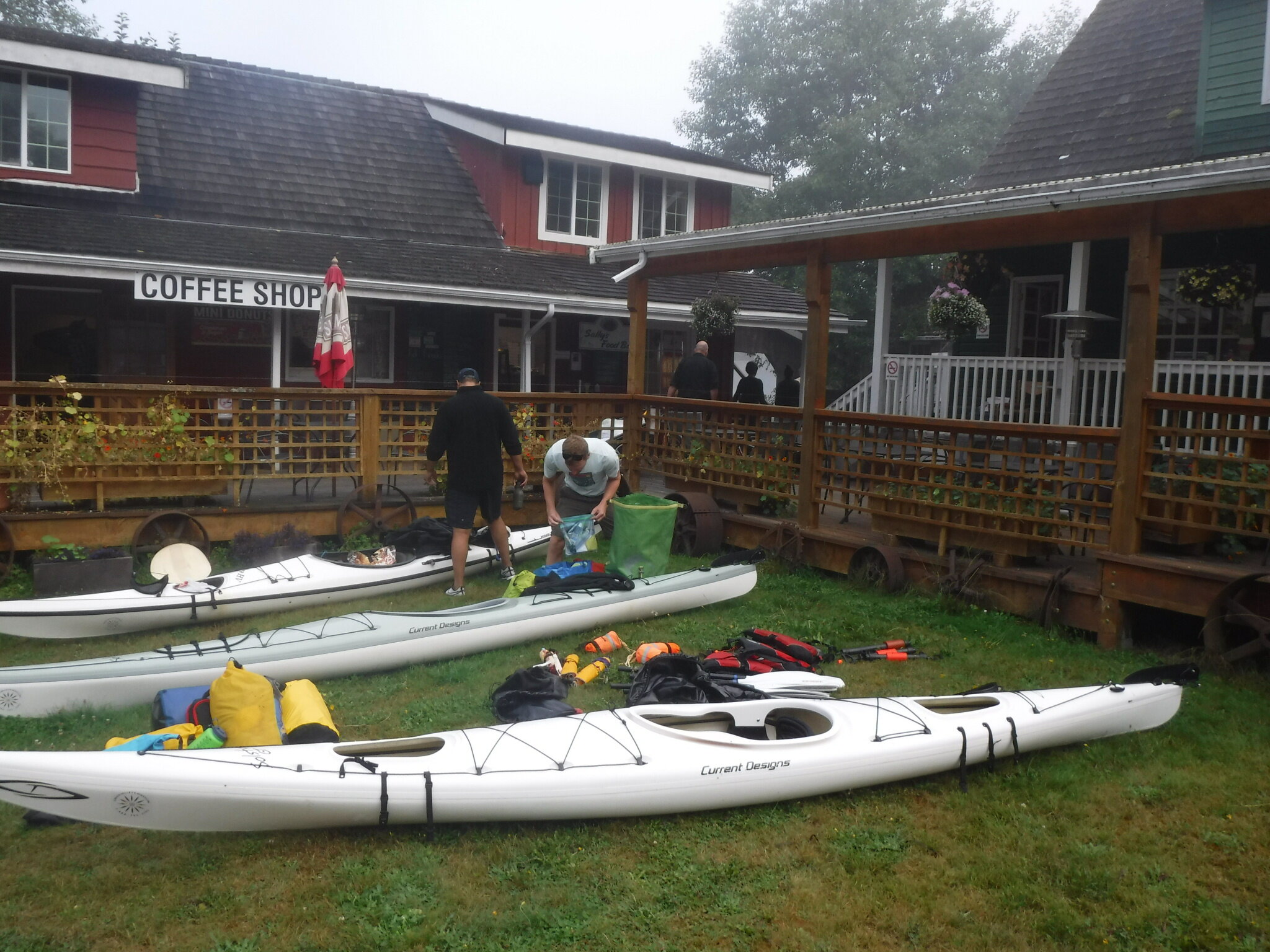
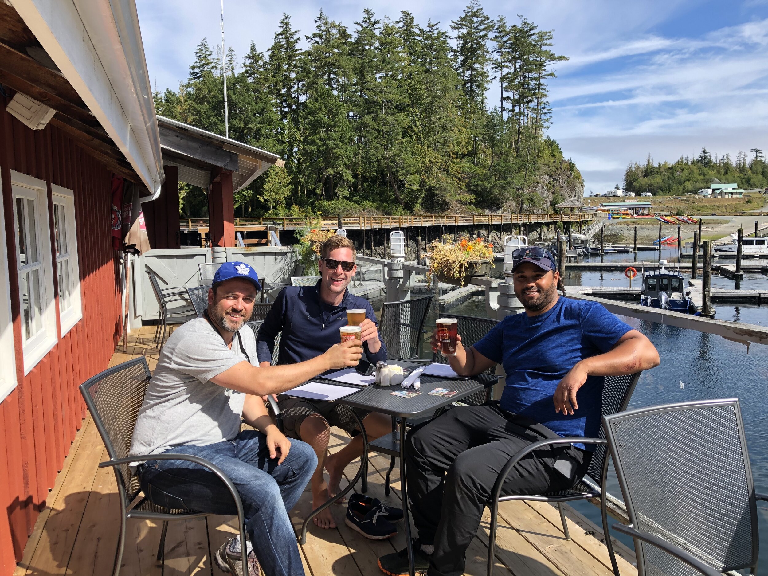
Air Canada just started direct flights from Toronto to Nanaimo, which made it a great rally point. We rented an SUV and ventured four hours north - past Comox (where we picked up kayaks at Comox Valley Kayaks and Canoes) and into Telegraph Cove, a tiny town with a vibrant history. Today, Telegraph Cove is owned by a resort and made for a phenomenal base camp. We were able to rent a cabin the night before launch, and grab a hot dinner/cold beer(s) at a restaurant in the harbour.
Our cozy foggy basecamp in Telegraph Cove.
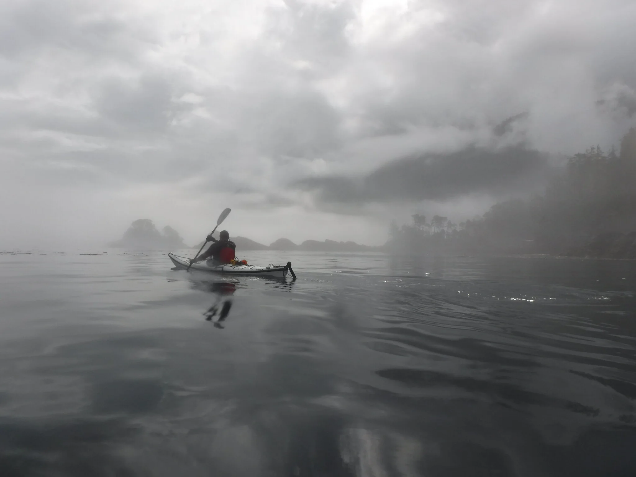
On Day 1, the plan was simply to cross the Johnstone Strait and find a spot along the southern coast of Swanson Island or the western bay of Harbledown Island. We timed our launch with the tide, but were met with a common adversary in BC: fog. We could see all of twenty metres in front of us. We crossed the channel and made it into Blackfish sound, where we found… more fog. We had lunch and hoped it would pass, which it did briefly, and we powered across the bay to sounds of humpbacks breaching and ships cruising in the mist.
We were ready to settle in at Flower Island when a group of passing kayakers warned us there was a grizzly sighted there all of 45 minutes prior. Heeding the warning, we quickly crossed the channel to Parson’s Bay where we posted up at a sandy site on Red Point with a perfect view of Blackney Passage.
The very paintable view from Village Island back towards Vancouver Island (in the distance).
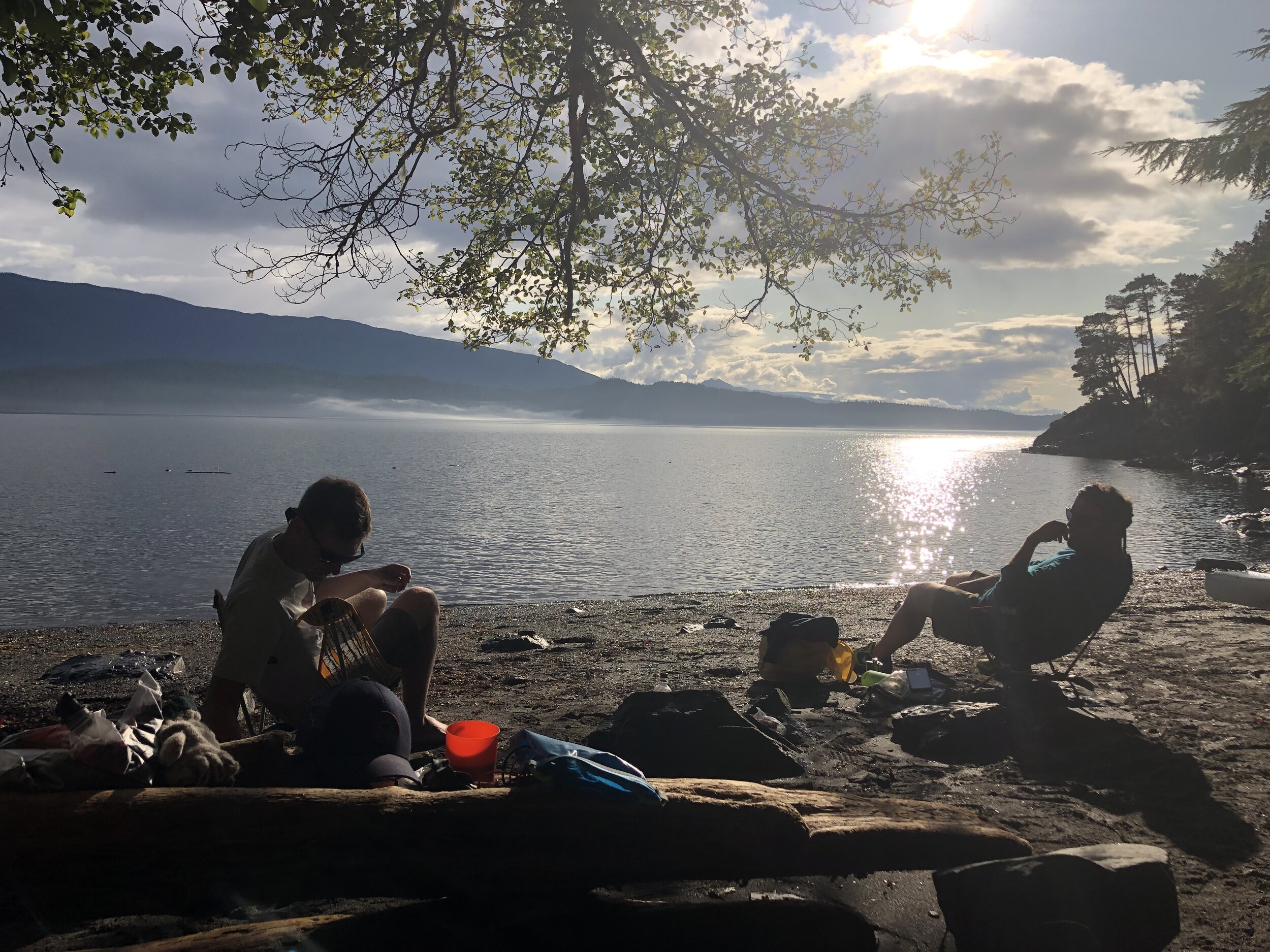
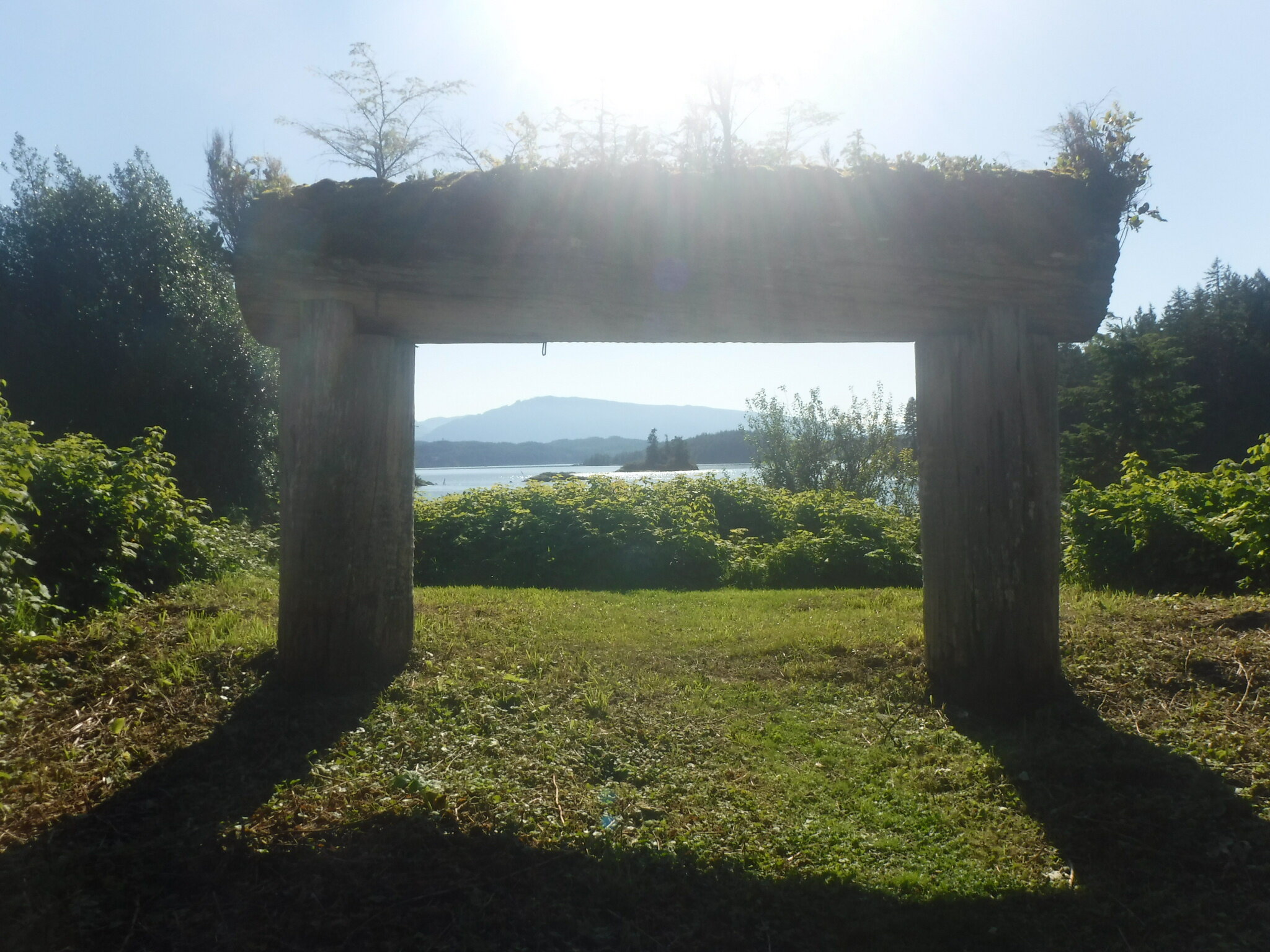
Day 2 took us eastward to a small cove on Turnour Island. The site was rugged, but at medium-to-low tide we had a nice midden beach and a rocky shoal to sit and watch the sunset. We caught a favourable current on the way out to Turnour, which left us with a lot of time on our hands - enough to make a day trip to Village Island, the former home of the Mamalilikulla First Nation. The island holds some interesting relics and abandoned buildings, and it’s necessary to clear your arrival with the nation before visiting.
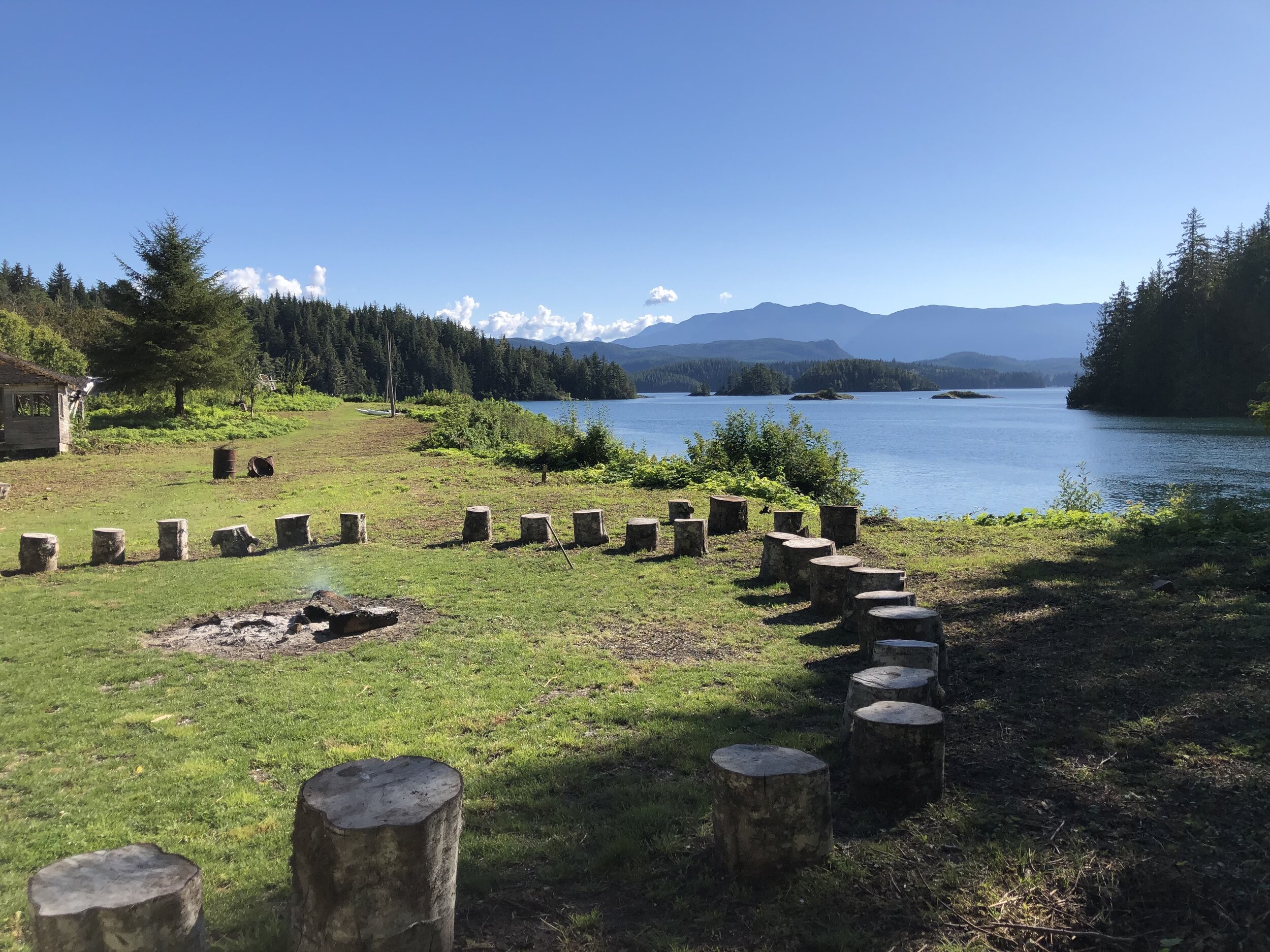
Day 3 was… interesting. After another foggy start, we mistimed a current and got held up for a long lunch. By the time the current had calmed, we had lost quite a bit of time with a lot of distance to go. We passed several occupied sites, including one that served as a base camp for protestors of the local fish farming industry. (They won, by the way!) The Broughtons are light on places to camp, so we ended up tracking over 25km on Day 3, finally arriving at a secluded campsite in Spiller’s Passage, between Mars and Hudson islands.
Questionable docking locations abound.
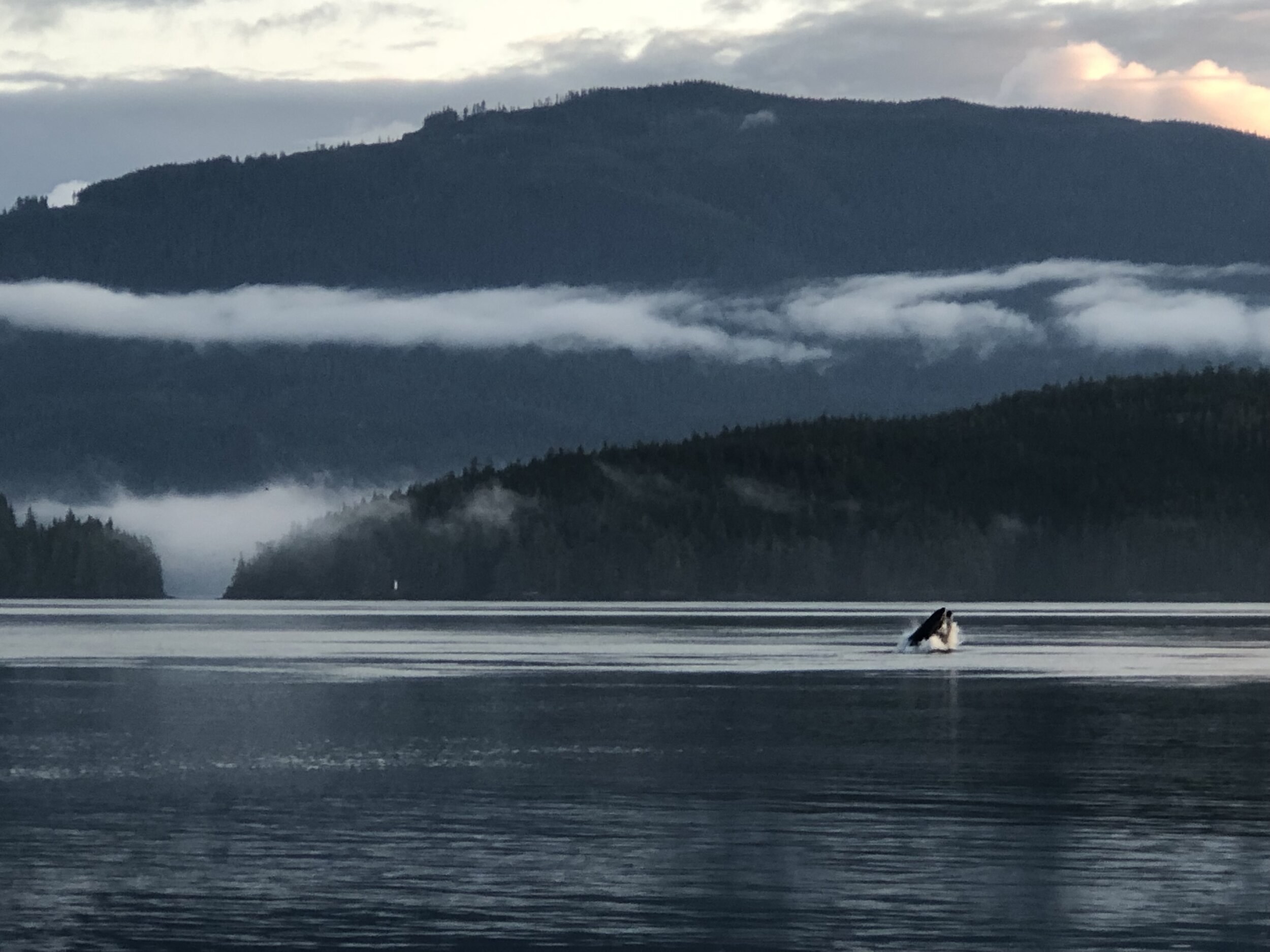
Following a late night where we celebrated our survival (after a field injury involving an impressive fall off a ten-foot cliff) we woke up late to a calm and sunny Day 4. This gave us the option of an open-water paddle, and turned into the greatest day I’ve ever spent on the water. Humpbacks breaching everywhere you looked, a swift current (in the right direction, for once), and a perfect view of mountains made for happy paddling. We made incredible time and decided to return to our beach site at Red Point for our last night.
An amazing bluebird day on open water.
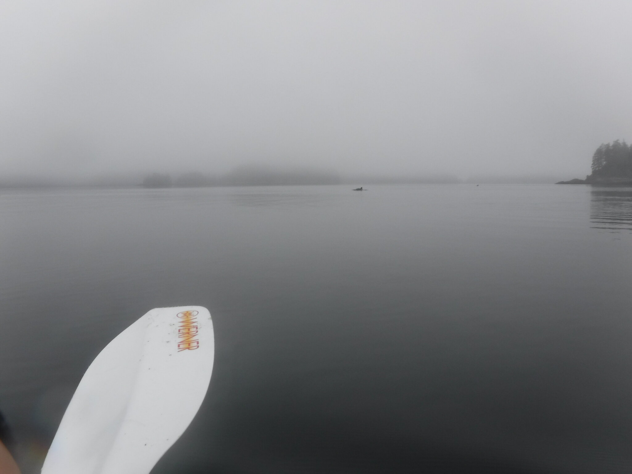
In the spirit of the rollercoaster ride that was this trip, our final return to Telegraph Cove on Day 5 was nothing short of terrifying. We had to beat a current early in the morning, which meant departing into another pea-soup fog. It’s difficult to express how uncomfortable it is to hear (but not see) whales breaching a mere ten metres away, or to have a sea lion pop up at the bow of your kayak and show you its massive teeth. Beautiful, but highly uncomfortable. We beat the current, and made it into the Johnstone Strait (crossing, again, in a deep fog - not ideal) for a leisurely paddle home as the tide ebbed out.
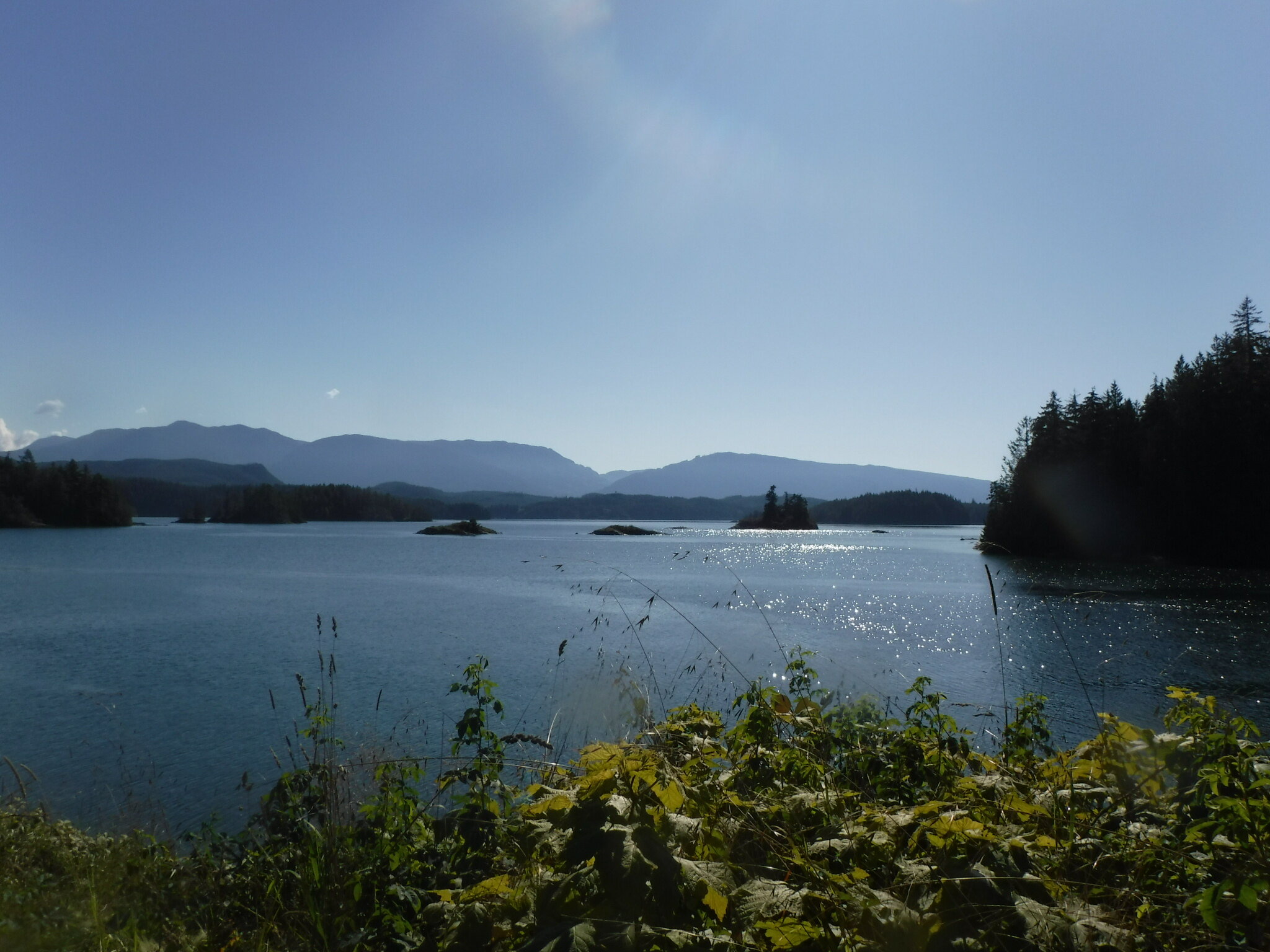
I’m sure there are mountains back there somewhere..
Itinerary (GPX file)
Day 1: Telegraph Cove to Parson’s Bay (17km)
Day 2: Parson’s Bay to Turnour Island (18km)
Day 3: Turnour Island to Mars Island (25km)
Day 4: Mars Island to Parson’s Bay (21km)
Day 5: Parson’s Bay to Telegraph Cove (14km)
The Food
The big complexity in meal planning for this trip was that I didn’t have my trusty cooler, so keeping food frozen wasn’t practical. I also wanted to avoid meat as much as possible because I heard grizzlies like meat, and I wanted to avoid grizzlies.
We didn’t have the benefit of a home kitchen to prepare anything, so we basically took stuff right off the grocery store shelf and into our bag. Once again, we did our own breakfast and lunches (which I highly recommend) and shared dinners. Think boxed PC White Cheddar Mac and Cheese, a curry kit, and Mr. Noodles repurposed with various sauces. Some day I will document some of these recipes.
Meal Plan
Day 1: Thai Green Curry with Lentils (Using a package like this)
Day 2: Mac and Cheese w/ Salami
Day 3: Knock-off Dan Dan Noodles w/ Tofu (Mr. Noodles, firm tofu, and a bottle of this peanut sauce)
Day 4: Poor Man’s Carbonara (w/ pancetta, Mr. Noodles, eggs, parmesan, pepper)
Pro Tips
Get a membership at BC Marine Trails. They have awesome campsite data you can download into your GPS, and you get 20% off rentals at Comox Valley Kayaks and Canoes. I would not have had as much fun as I did without their help.
Study the tides and currents of your route (a lot), and be flexible to the possibility you might have to change your plans.
There is some cell service, but consider getting a GPS. Fog is common and it can completely destroy visibility. Having a clear read on bearing and route is essential.
If you’re interested in an A-B route instead of a loop, there are water taxis in the area that could take you out at the beginning (and you paddle back) or pick you up at the end and return you to Telegraph Cove. They’re expensive (~$150 per person each way), but could help you explore even further.
