Kayaking the Bustard Islands
It doesn’t seem to matter how many times I paddle Georgian Bay - every trip is different and each one leaves me wanting more. I can’t shake how lucky I feel to live so close to the most beautiful coastline in the world.
After surviving a winter trip with Jake and Jeff, we quickly made plans to spend another week out in the wilds and settled on a mid-summer trip to the playground that is French River Provincial Park. It’s one of the few places I’ll consider camping in July in Ontario; the Georgian Bay winds provide a much needed shelter from summer heat and bugs.
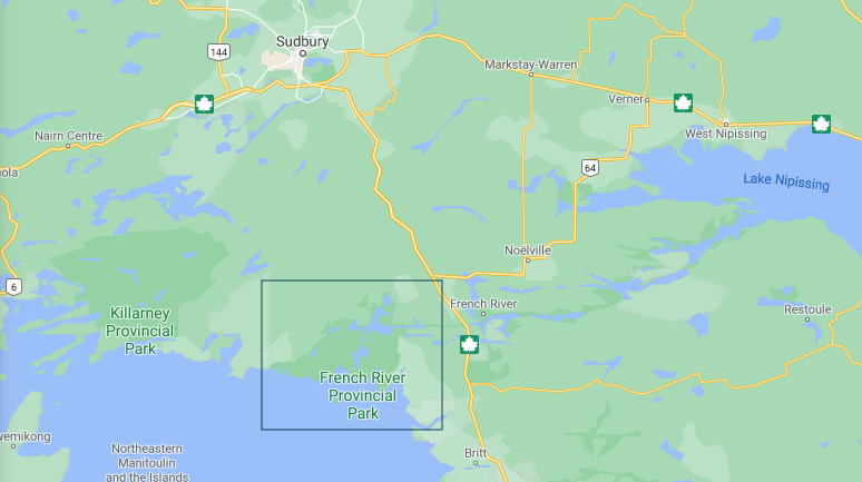
Hugging the north-east coast of Georgian Bay, the French River park boasts staggeringly beautiful landscapes and, compared to Algonquin and Killarney, it sees very little traffic. Being a fairly new park (est. 1989), you’ll see the occasional cottage and fishing camp, but otherwise it’s an excellent spot for a taste of solitude and scenery.
As the name suggests, the park follows the French River as it empties Lake Nipissing into Georgian Bay. It’s the track that Samuel Champlain took when Europeans first arrived at the Bay, with Voyageurs following the same route for centuries to exploit the area for the fur trade. There is no shortage of paths from the main channel into the bay, with the river emptying through multiple arms - giving a backcountry tripper lots of options.
The Route
With a couple guys who haven’t spent much time in the area, I wanted some general exploration but ultimately to highlight a special part of the park: the Bustard Islands.
The Bustards are a bit of a geologic anomaly. They cover a significant landmass, are unusually far offshore, and are reasonably undeveloped. On windy day, it can be difficult to even get to them in a kayak (and impossible in a canoe). So for a few guys with time to burn, it was a perfectly reasonable target.

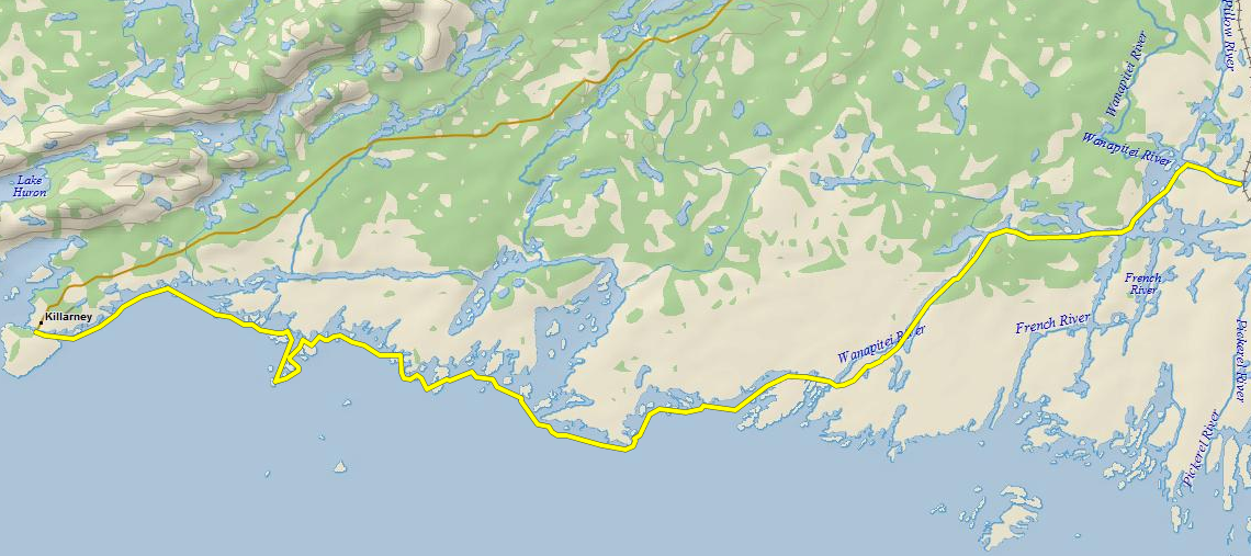
Our route - all in all, around 110km.
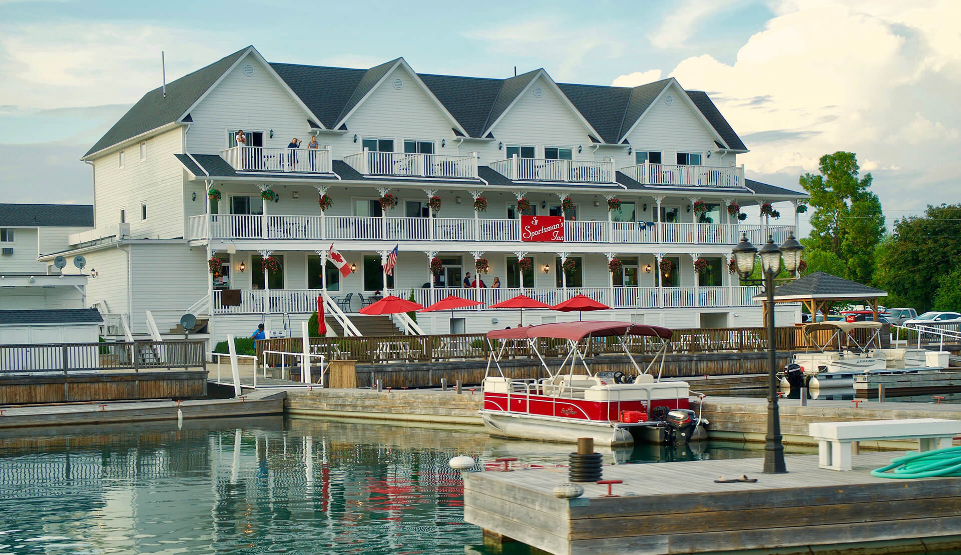
We carved off a full calendar week for the trip, which left us with tons of options for a healthy loop. In the end we decided to launch from the Pickerel River Marina, connect with the French and ride the West arm to open water, curl back East to the Bustards, and head home up the main channel. We covered around 110km over seven days (only five of which were spent between sites).
I had hoped to do some exploring around Fox Island to the East, but we didn’t get quite that far. And it’s always nice to leave something for next time.
The Trip
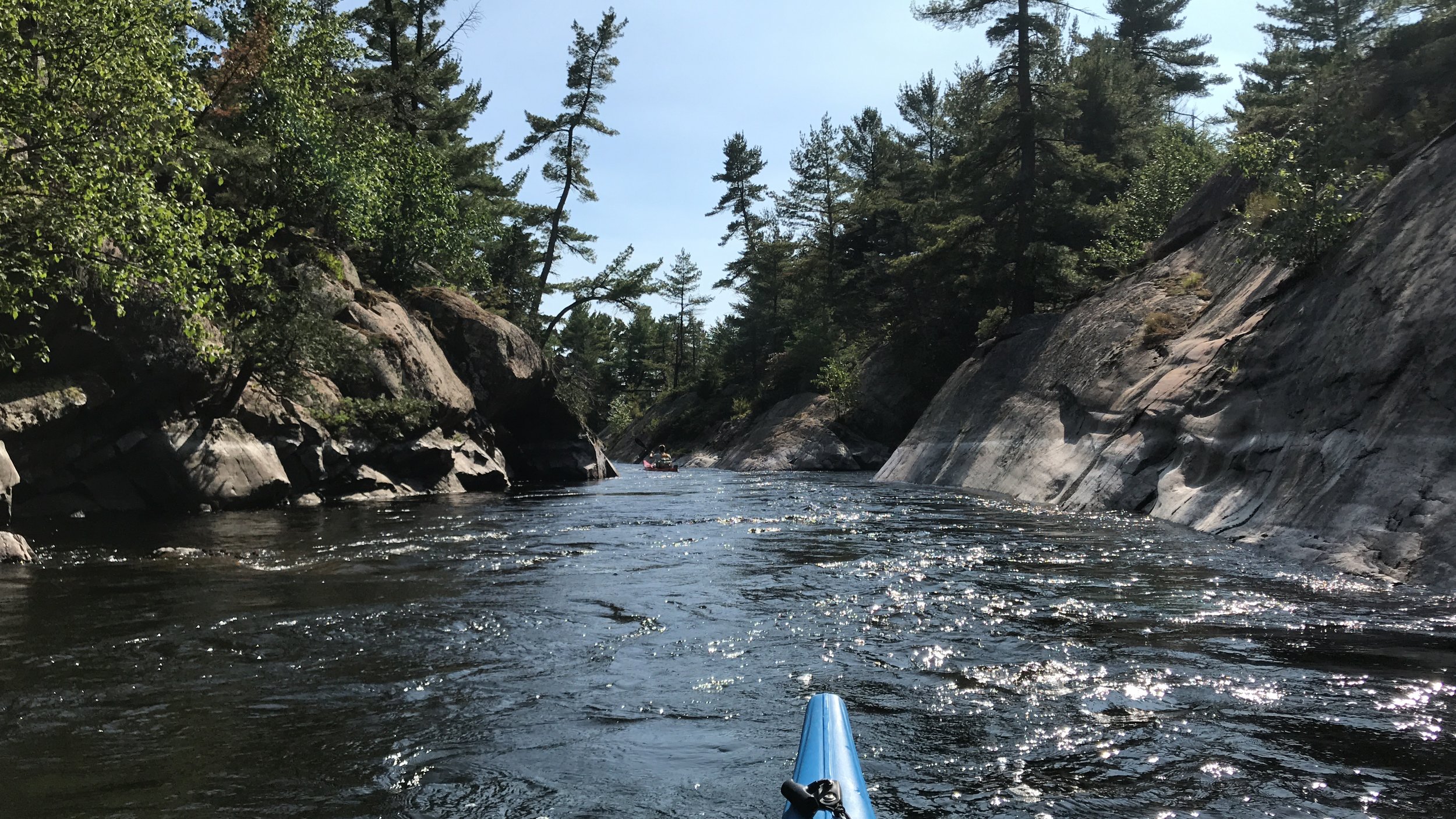
I’ve been up to this area twice in recent years, and introduced the Pickerel River segment to shake things up a little. It saved us some driving and gave us a bit more distance to play with. Water levels were insanely high in 2020, so we had very little swift water to worry about in either direction. There are plenty of campsites along the Pickerel, although they can be widely spaced so plan accordingly. As it approaches the French, the Pickerel bends and carves through some incredible channels and valleys. If you can afford the time, it’s far superior to the segment from Hartley Bay to the main junction of the French’s ‘figure 8’.

Carving through cliffs on the Pickerel River.
As much as I love tracking new routes, some are just too perfect to change. I had to take the boys through the Old Voyageur Channel, which I highlighted on my 2019 route around Philip Edward Island. The water levels were much higher and the rapids less exciting, but the channel always reminds me why I keep coming back.
In true Georgian Bay form, reality didn’t set in until we hit open water. Winds picked up dramatically and didn’t let up for the rest of the trip. The title of this blog isn’t just some playful alliteration. I am a fucking headwind magnet.
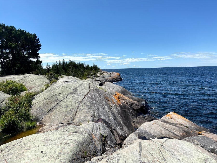
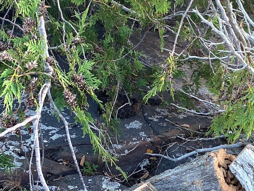
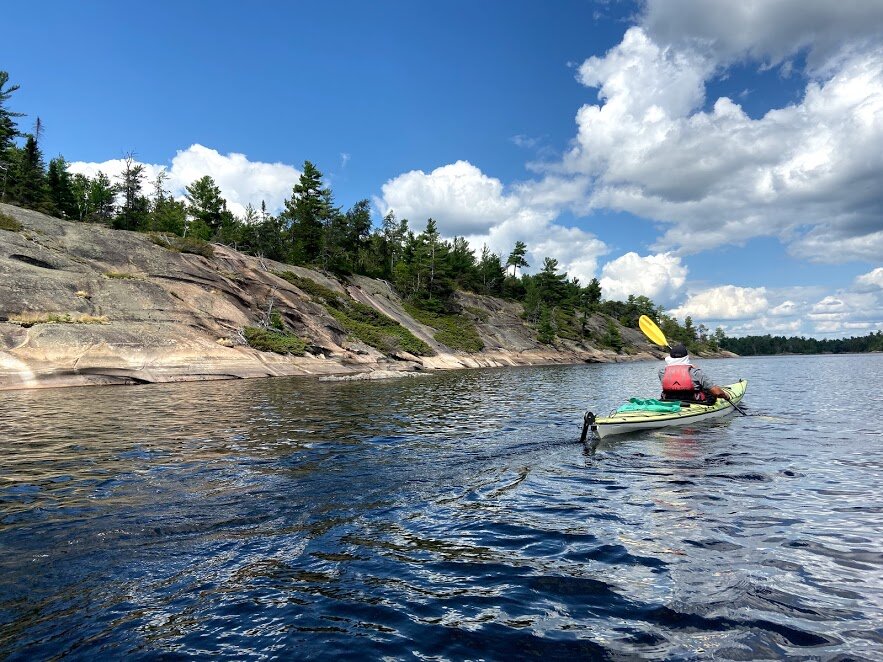
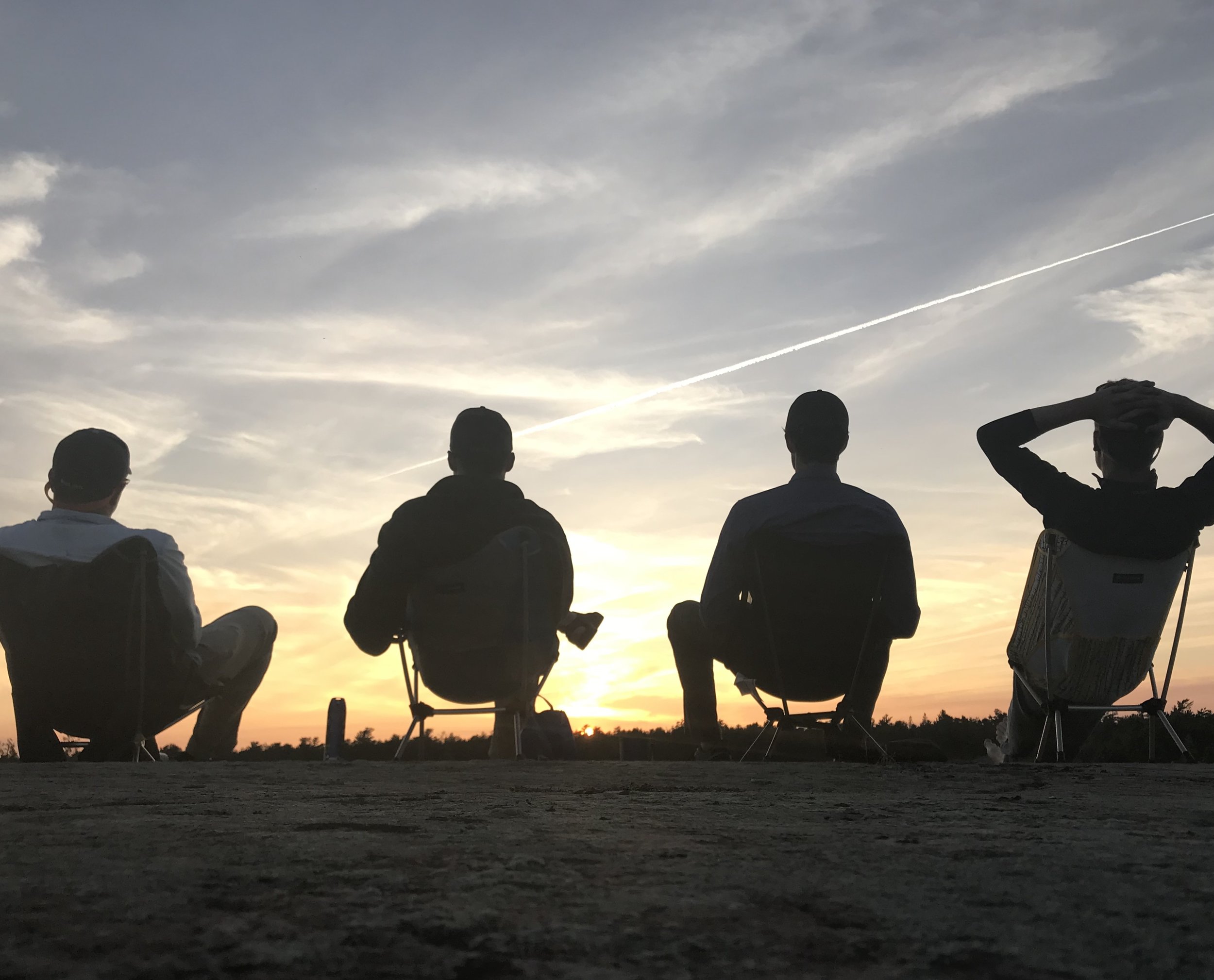
Landing in Green Bay, we found ourselves at the westernmost point of the park. We settled in at a glorious island site for two nights - spending our days surfing waves, drinking swampy bay water, dodging rattlesnakes, and soaking in sunsets.

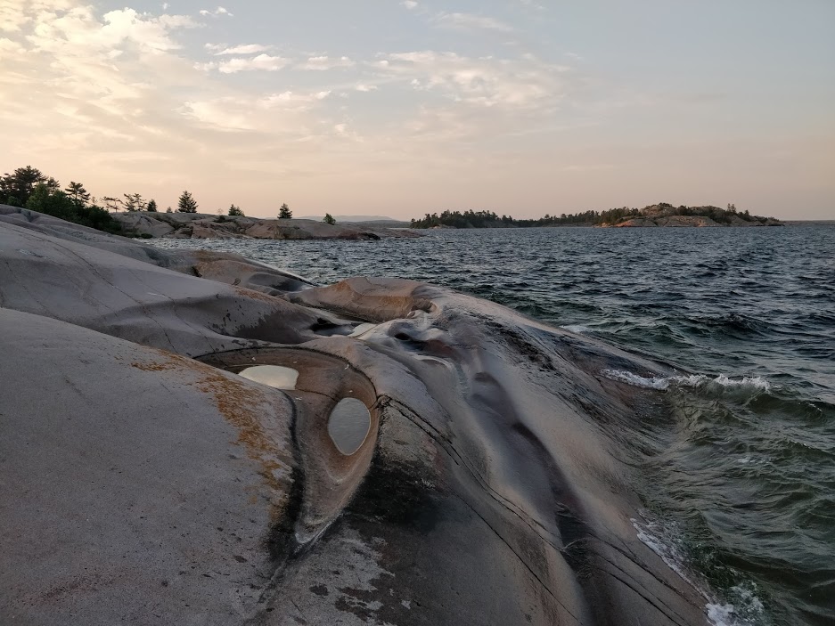
Shoals around Green Bay, the Westernmost point of the French River park.
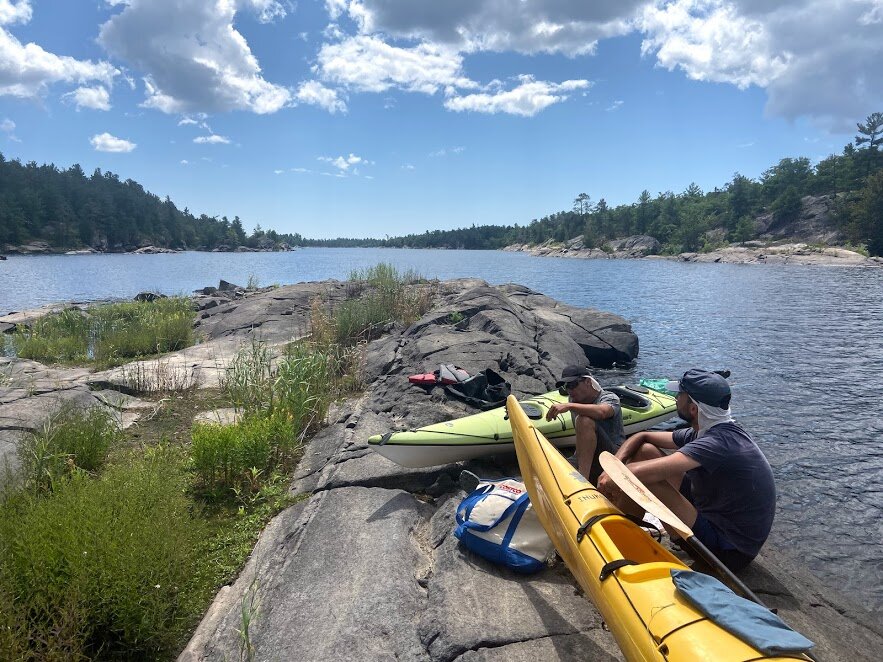
After a couple days of island life, we saw a window of sub 15km/hr winds and decided to make our 10km push across open water to the Bustards. Aside from Jake’s rudder popping off ten minutes into the trip, we had little friction getting to the Bustard lighthouses and began our hunt for a campsite.
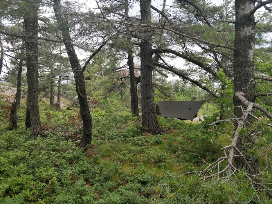
Despite the vast landmass of the Bustard Islands, there are only a handful of campsites marked on the map. This would create a bit of a challenge if you got all the way out there and all were taken, and indeed we saw plenty improvised sites along the shoreline. Not ideal, but in a pinch you can make it work. At this point we still hadn’t seen anyone in days, and we settled in at a beautiful and quiet site nested in the belly of Tanvat Island.
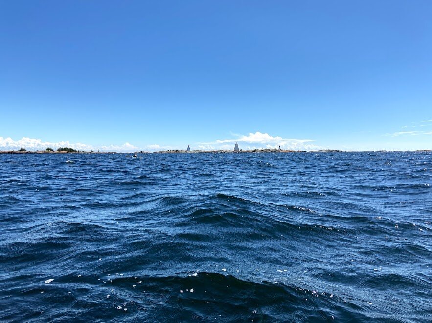
Traversing the bay towards the Bustard Island lighthouses.
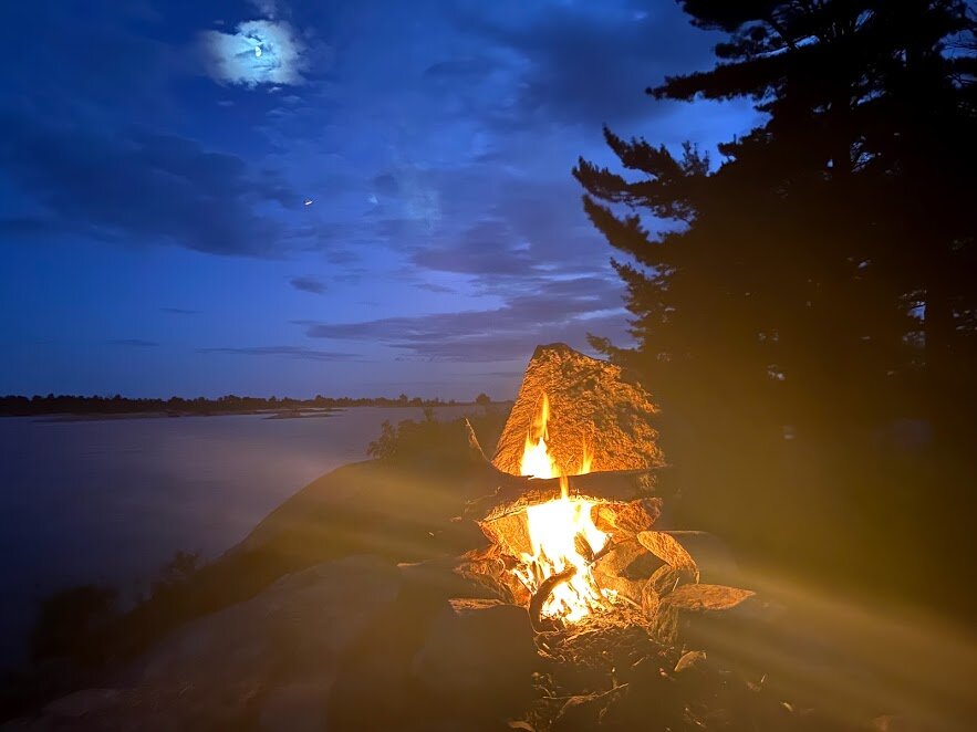
We decided to stay another night on the Bustards, but ended up moving out to the coast after being accosted by in-land mosquitos. The exposed point we settled at was stunning, rugged, and certainly the highlight of the trip for me. You can see it in the headline picture of this post!
For our final push back up-river, we chose the Canoe Channel route back towards the French. I hadn’t gone this way before and was so pleased we did. The cliffs and canyons made for a gorgeous detour back to our original route, which we traced back to the marina the following day.

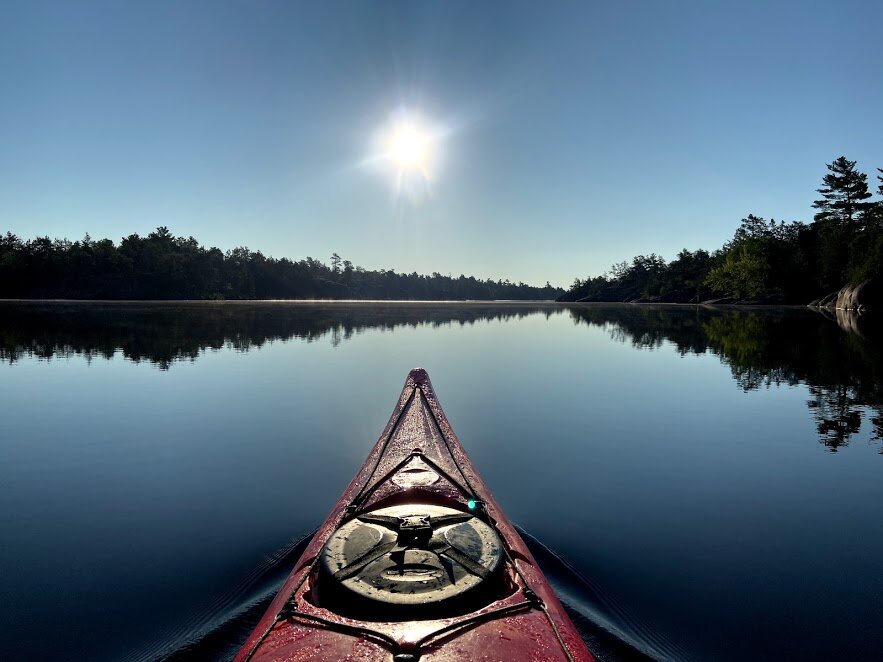
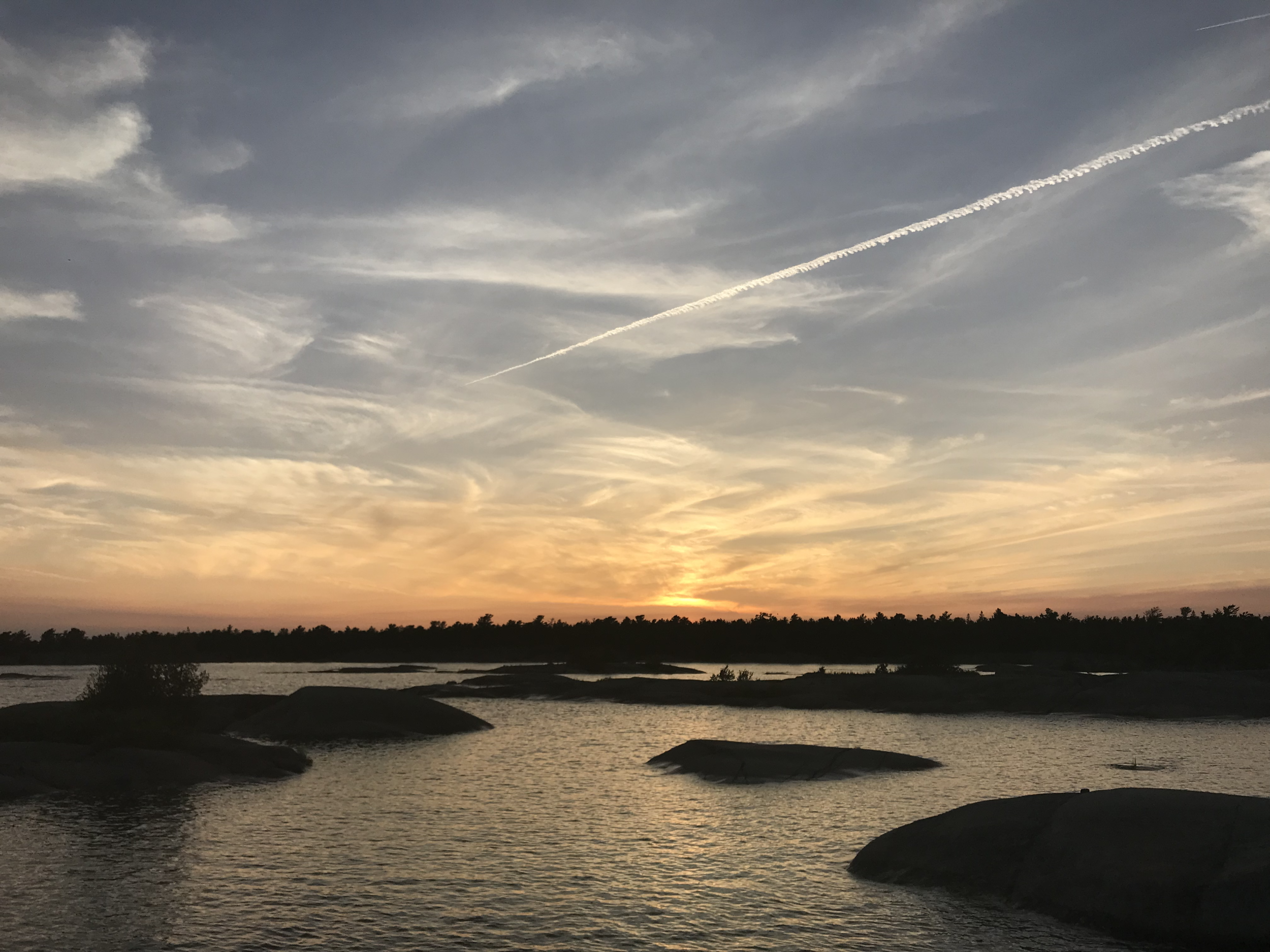
Sunset on the Pickerel.
Itinerary
Day 1: Pickerel River Marina to Pickerel River (17km)
Day 2: Pickerel River to Green Bay (27km)
Day 3: Island day (no travel)
Day 4: Green Bay to Bustard Islands (16km)
Day 5: Island day (no travel)
Day 6: Bustard Islands to Pickerel River (23km)
Day 7: Pickerel River to Pickerel River Marina (17km)
Hot Tips
With Georgian Bay trips it’s good practice to pick a start and finish point, a general route, and leave yourself plenty of flexibility to make changes based on wind/mood.
As of July 2020, there is a massive wind power installation around the Henvey Inlet at the Eastern arm of the park. Thumbs up for renewable energy, but it’s absolutely hideous. Flashing red lights all through the night. Try to snag a West-facing site in this part of the park.
There are only a handful of sites on the Bustards. If you’re in peak season and worried about not getting a site, start your trip on a Thursday or earlier. Weekend traffic may pick up, but mid-week things are dead.